
Mappr
Where it’s at
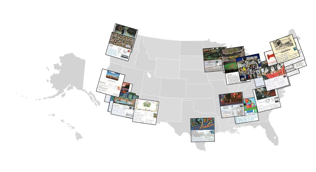
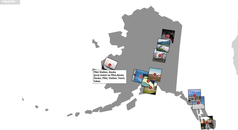
Photos from flickr.com (“almost certainly the best online photo management and sharing application in the world”) are often tagged with information that can be used to make educated guesses about their locations in the world. Mappr used this data, which is provided by Flickr users and made available via the Flickr API, to place their images on a map. Mappr was one of the first visualizations of social media data in the world.
Starting in late 2004, we began collecting images from Flickr and comparing them against a U.S. Postal Service database of place names. Photos with consistent, informative tags are assigned a location and shown via Mappr. A certain amount of fuzziness was built into the project. Not every photo is tagged in such a way as to allow us to accurately determine exactly where it is. We made educated guesses, based on the information available in the tags.
Mappr was built to explore the idea of a collaborative mapped photo space, without having to wait for cameras to come with automatic GPS locators in them (which has since, of course, happened in spades). The project was open to Flickr users, mapped over a million photos, and queried Flickr’s collection of photos on a daily basis.
Mappr has been featured in publications such as Barron’s, The Wall Street Journal, and Peter Morville’s recent book, Ambient Findability. We first publicly described the motivations and strategies behind Mappr in a talk at CodeCon in San Francisco.
We’ve always had in mind that people would use Flickr to organize their photos in “ways we haven’t thought of yet” – it’s why we make public photo data available via RSS feeds, and why we released the Flickr API, which allows outside developers to build new applications that interface with Flickr. We’ve seen a number of really excellent tools built using our API recently – but the latest one rocks our socks all the way to Biloxi. Check out Mappr! – a new tool by our friends over at Stamen in San Francisco. It takes photos you’ve uploaded into Flickr, looks to see if you’ve tagged them with place names (like “Omaha” and “Nebraska,” or “San Francisco” and “California”) and places them on a map of the US. Flickr Caterina Fake