Map Stack
A simpler way to design your own unique maps
Good-looking maps used to be the domain of experts. That’s been changing quite a bit in the last few years, and it’s easier than ever now for developers to access mapping data.
Never content to leave well enough alone, we thought we’d kick this sideways a bit and make it easy for the rest of us to make some great stuff. We call it Map Stack. It’s a bit like Instagram for maps.
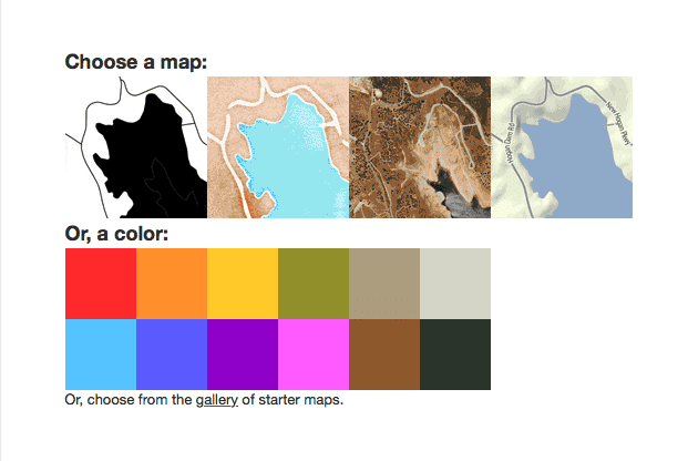
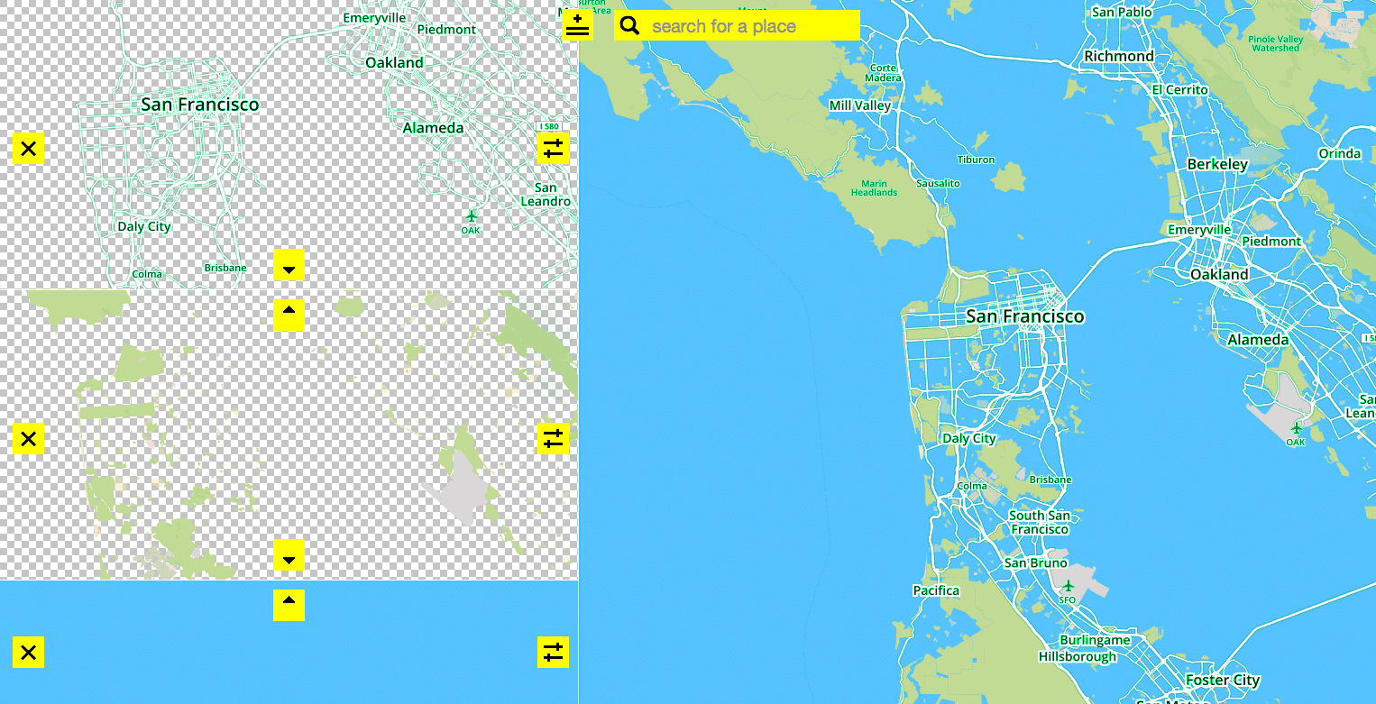
The maps.stamen.com project was designed to let people easily use Open Street Map data in their own applications, and to provide well-designed map styles that would raise the bar for what people expect from open data. We’re taking this a step further now, with Map Stack. Map Stack is about putting your creativity on the map, making it radically simpler to design your own map styles, without having to know any code, sign up for anything, install any software, or do any typing. We provide different parts of the map stack: backgrounds, roads, labels, and satellite imagery and straightforward controls for manipulating things like color, opacity and masking.
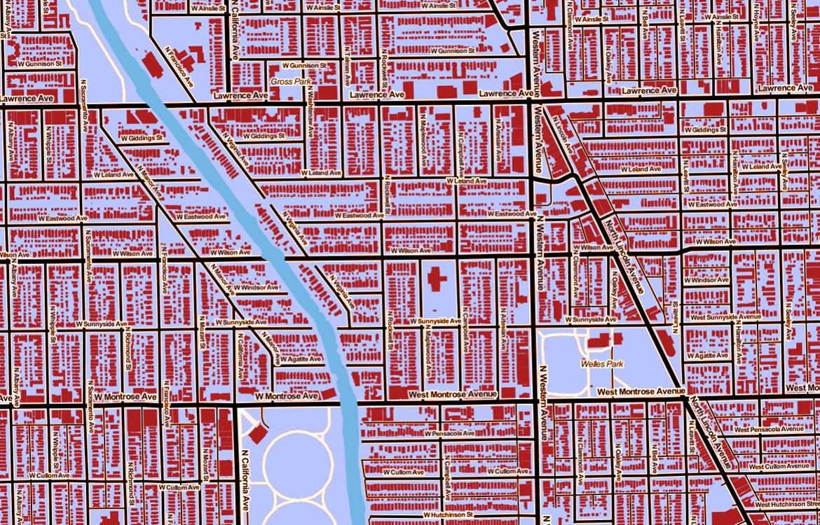
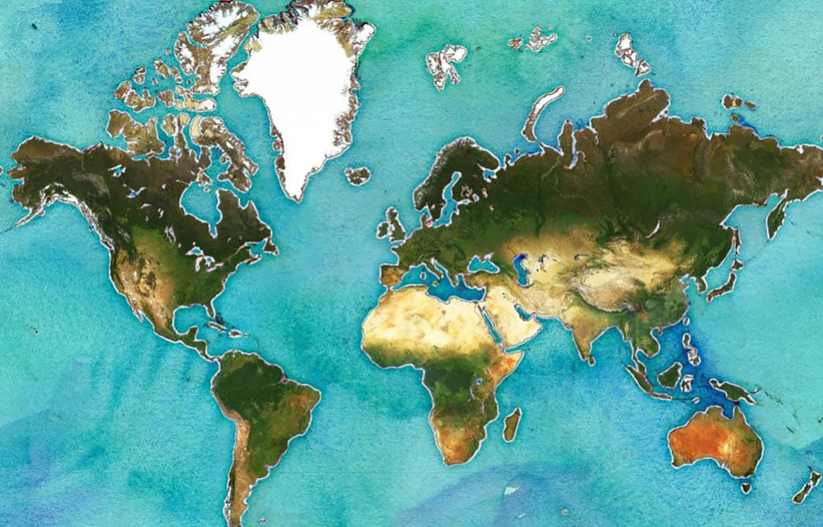
Here are some examples, a short menu of maps that we and others have worked up to get you started. You can also view a gallery of images that people are creating here. Enjoy!