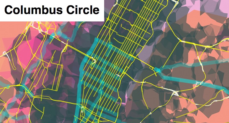
Announcing Prettymaps
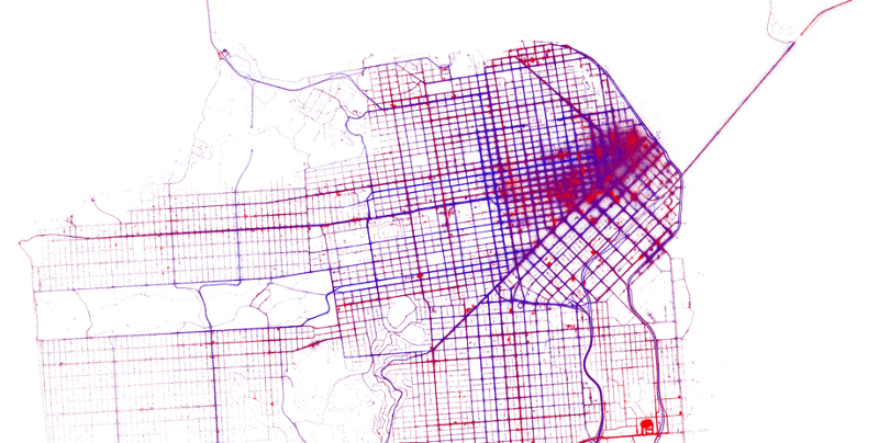
Close readers of Aaron’s blog and flickr stream know that he’s been thinking for some time about making maps out of things that people do, whether it’s geotagging photos or tracing streets or deriving urban areas from analysis of satellite photos, and posting his experiments with them as he goes. I’m zazzed (thanks AG) to...