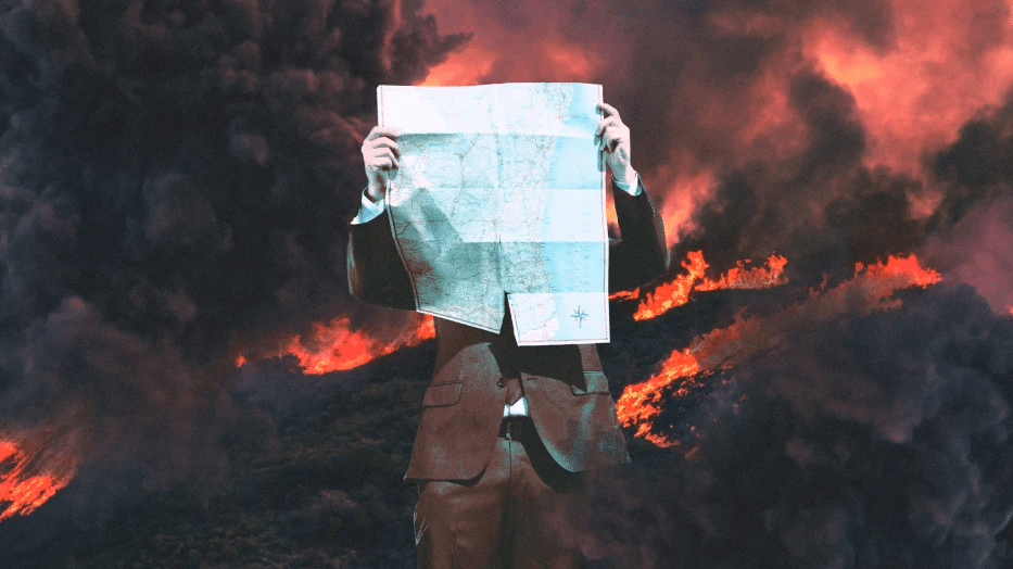
How maps tracking climate disasters fall short – and endanger lives
Fast Company
02.04.2020
“The question of how to best visualize extreme weather and the disasters it precipitates is confounding even the industry’s top experts. In Australia, wildfires have burned more than 26 million acres and killed 33 people and 1 billion animals (that’s billion, not million). There are plenty of resources for tracking fires in Australia. But they struggle to capture both the scale and the nuances of the problem. As climate change leads to increasingly catastrophic floods, fires, and other crises, effective data visualization is becoming an urgent public health matter. Lives literally depend on it.”
“In the future, machine learning may help overcome some of the major challenges of mapping data. ‘We’re talking with a group that’s using machine vision/machine learning to build models in California that will radically simplify the process of making statewide fire safety maps available quickly and at scale,’ Rodenbeck says. ‘The idea is you ground truth conditions in a very few forest areas, and then you compare data from those few areas to their locations on up-to-date satellite imagery. . . . The MV/ML then quickly builds a model of conditions over the whole state, and this information is useful to fire managers, utility people, the public. It’s not 100% perfect but it’s often enough to point people in the right direction. And it keeps getting better as the models run.'”

