
Parks Alliance Launches Interactive Map Of Southeastern Waterfront’s ‘Blue Greenway’
Hoodline
11.05.2016
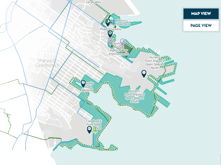
With an interactive map featuring points of interest, profiles and events stretching from Mission Bay to Candlestick Point, the site is designed to “serve as a hub for anyone interested in what’s going on along the emerging southeastern waterfront … from the community members interested in attending the next neighborhood meeting, to the weekend kayaker looking for a place to launch their boat.”
The site is past of an ongoing effort to add open space and recreation areas by creating an interconnected system of trails and parks along the bay, which involves completing San Francisco’s portions of the Bay Trail and Bay Water Trail.