The Minds Behind Mappr
MIT Technology Review
05.06.2005
In a way, the dot com era never ended in San Francisco, which still has a huge supply of smart, young, hip people working on cool technologies that are going to change the world. I met three more of them this week. They are Eric Rodenbeck, Michael Migurski, and Tomas Apodaca of Stamen Design. The group is famous for creating interactive visualizations on the Web, including a map used last year by MoveOn.org to illustrate a nationwide, one-day campaign to deluge senators’ offices with calls from constituents. I visited Stamen’s plant-filled studio in the Mission District on May 4.

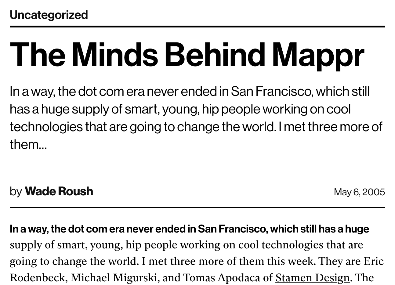
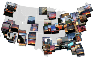
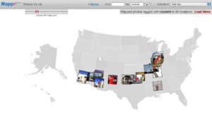
Mappr was my reason for wanting to meet these guys. It’s a Web-based program that organizes digital photographs by location. Mappr grabs photographs from leading photo-sharing site Flickr (which was recently acquired by Yahoo!) and uses the captions and other information that users attach to the photos to assign the images to specific geographic coordinates on a large map of the United States. The data is acquired in real time, so you can see where the last 20 or 50 or 100 Flickr users have been clicking their shutters. Rodenbeck says Mappr now includes some 880,000 Flickr photos.
Stamen’s design philosophy is to create web-based visualization tools, then see how people use them. Migurski says he’s been continually surprised and gratified at the things people do with Mappr. A Flickr member named Eric Snowdeal, for example, invited others to send him postcards with good wishes for his son, who was born prematurely. He photographed the postcards and tagged the photos with geographic locations, and now Mappr shows how broadly the infant’s well-wishers are distributed. “If you look on his page on Mappr, you can see a whole country’s worth of postcards,” says Migurski.
Some fascinating patterns have emerged from the collective activity of Mappr users, adds Rodenbeck. For example, photographs tagged “Route 66” form a thread stretching across the continent. “Mappr knows nothing about Route 66, but if you type in that tag, you get an exact map of it,” Rodenbeck relates. “It’s not intentional – it’s just one of those things that kind of happens.”

How do geo-referenced photographs contribute to social computing? “You don’t necessarily discover anything about anyone else around you if you only tag your photos with geographic information,” acknowledges Rodenbeck. “There’s got to be something else you tag – say, ‘This is somebody who hunts mushrooms, or is a bird watcher.’” Then people can use Mappr not just to see who’s taking pictures where, but what interests they have. And that, in turn, could lead to online discussions or collaborations or even real-world friend-making.
“Location is certainly key,” says Rodenbeck. “And absolute geographical positioning is totally coming [in the form of future GPS-enabled camera phones that automatically tag photos with latitude and longitude, for example]. But in the meantime there is all this other stuff we can think about that has to do with the way people relate to each other relative to their location and their social space. We’re trying to ask those questions without having to wait for the geopositioning stuff.”

