Chesapeake Bay Grasses
Exploring cartography and data storytelling with the Chesapeake Bay Program
Background
The Chesapeake Bay Program (CBP) is a partnership of federal, state, non-profit organizations and academic institutions dedicated to the protection and restoration of Chesapeake Bay, the largest estuary in the United States. Chesapeake Bay is about 200 miles long, with a total surface area of about 4,480 square miles and an average depth of about 21 feet; the Bay and its tributaries have a shoreline longer than the entire U.S. west coast. The Bay is home to some 80,000 acres of bay grasses, and bay grass density over time is a great indicator of the overall health of the system. Stamen worked with the CBP and, in particular, Dr. Robert Orth from the Virginia Institute of Marine Science, to develop a visual story about the health of the Bay, based on massive amounts of scientific data that had been collected over 40 years.
What we made
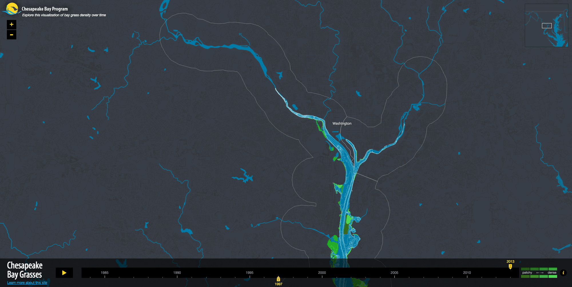
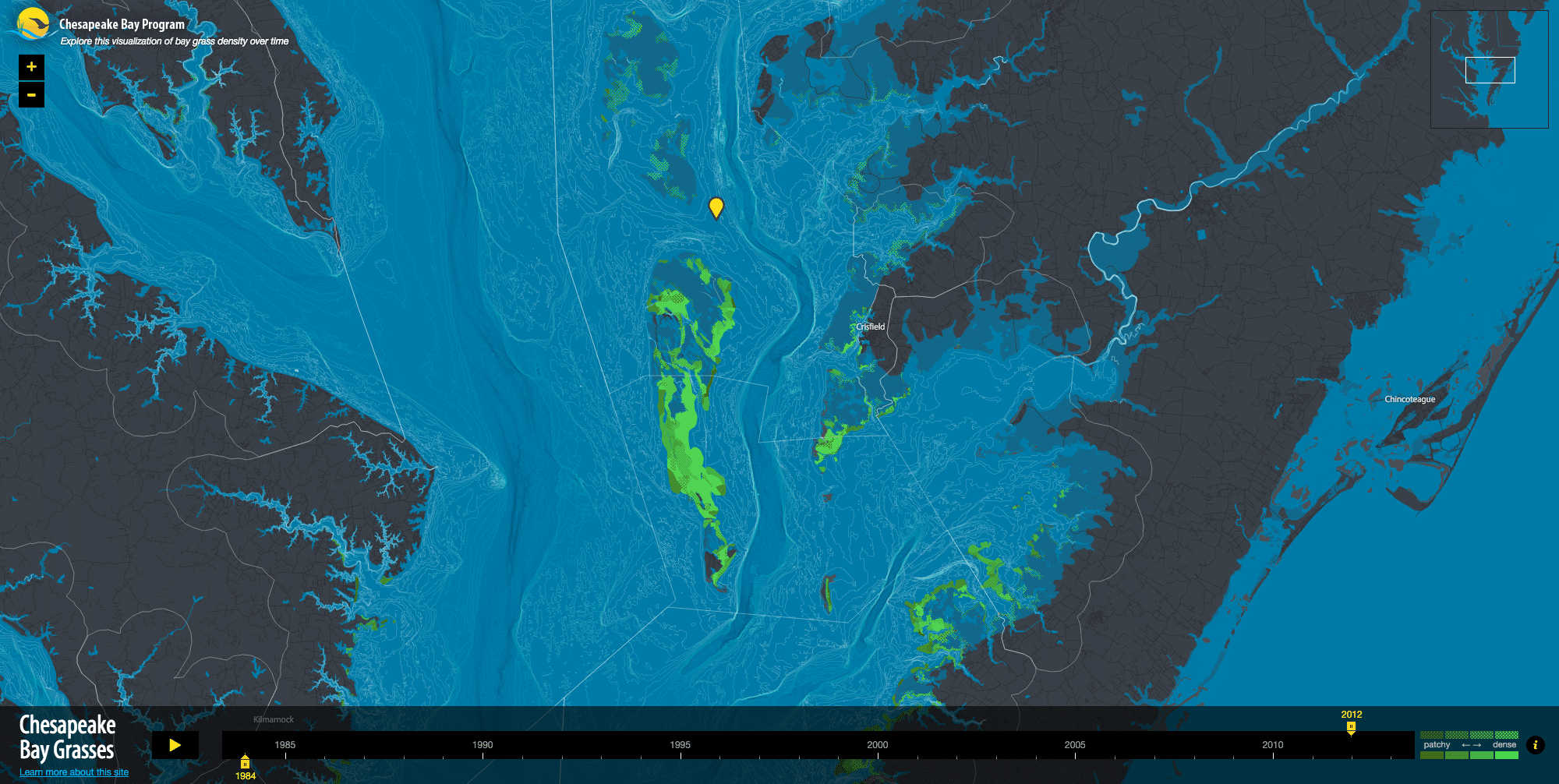
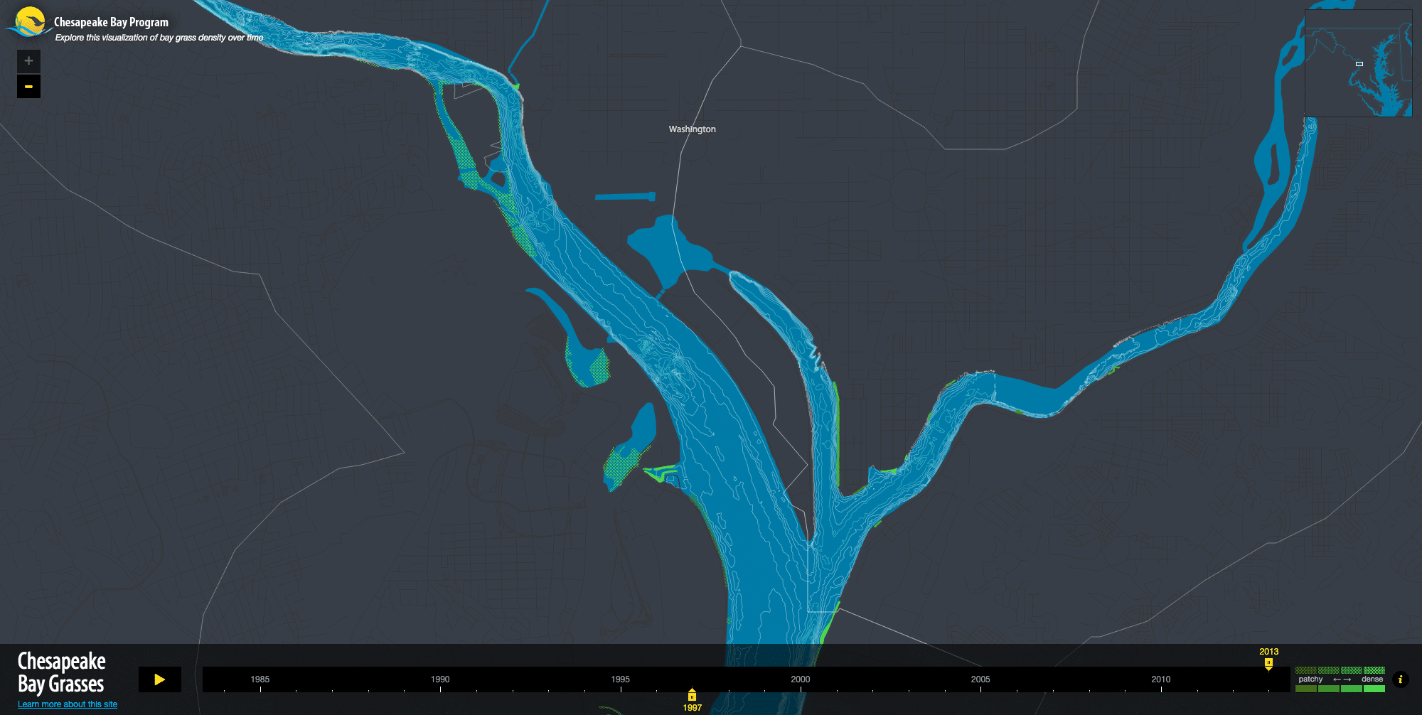
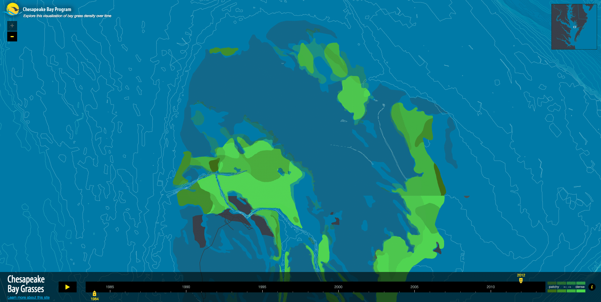
The result of this collaboration is a map that shows grass density across the Bay over a fourteen year period, using CBP’s grass density data alongside bathymetry data from NOAA and water quality data from the Chesapeake Bay Program Water Quality Database. Knowing that the project was focused on a body of water and not the land ended up being a strong influence on the cartography we designed.
White outlines represent research segments of the Bay; yellow markers highlight areas that have changed significantly. The data includes two species of grasses. Shaded green areas represent grass growth, from patchy (light) to dense (dark). The map is displayed on a timeline so changes can be viewed in different time periods.
Stamen’s ability to craft solutions by marrying design elegance with highly usable, interactive interfaces is unparalleled…they designed a solution that worked not only for the end user, but that maintained the scientific rigor that is paramount among Chesapeake Scientists. National Park Service, Chesapeake Bay Michael Land, Director of Communications, Digital and Design