Field Papers
A tool to help disempowered communities get their data into Open Street Map
Background
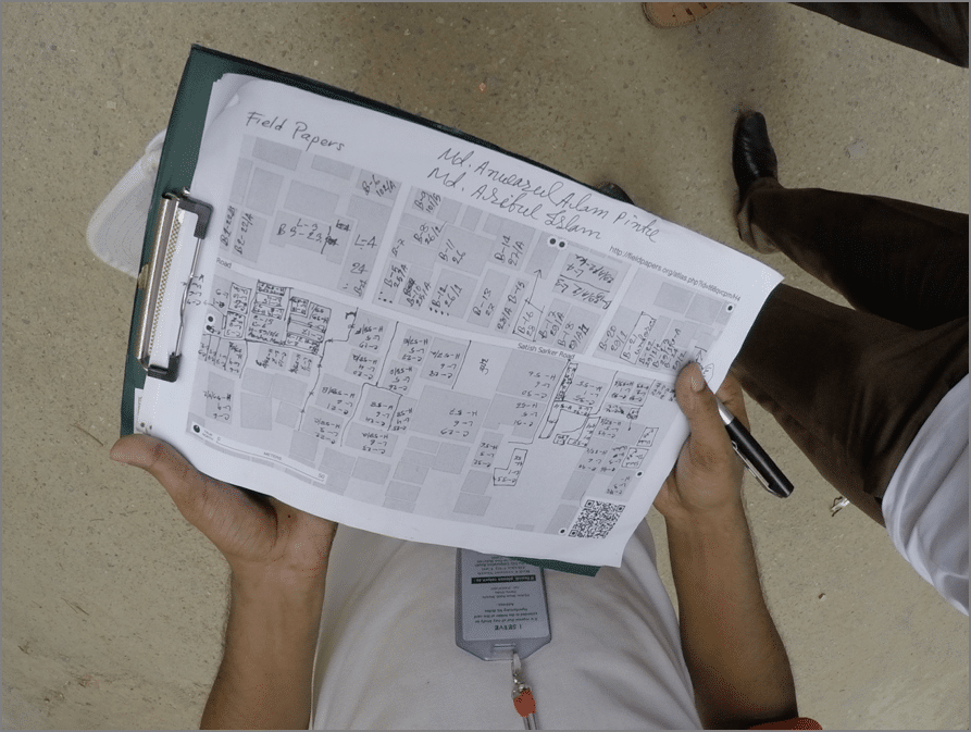
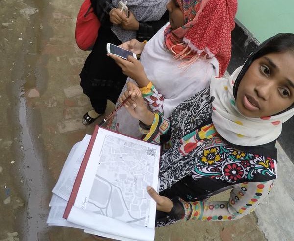
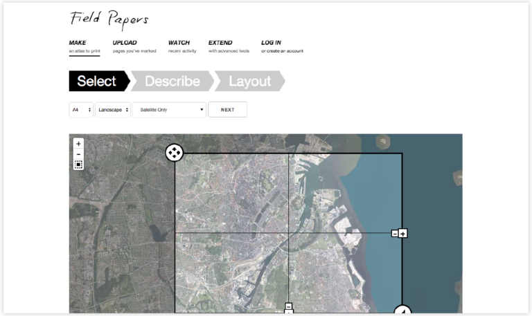
We developed Field Papers to help people create a multi-page atlas of anywhere in the world. Once you print it, you can take it outside, into the field, to record notes and observations about the area you’re looking at, or use it as your own personal tour guide in a new city.
What we made
This project was a continuation of Walking Papers, which was built by Stamen’s Mike Migurski for the OpenStreetMap (OSM) community. It allows you to choose from several map styles (including satellite imagery and black and white cartography to save ink) and has built in note annotation tools with GIS format downloads. Even though you can use Field Papers without creating an account, you also have the options of collecting any atlases you make under your own username.
The first version of Field Papers was launched in May of 2012, in partnership with Caerus Associates. In early 2013, we were approached by the U.S. Agency for International Development (USAID) to extend Field Papers and make it more robust.
Read more about the project on Wikipedia.