
OneBayArea Map
Mapping transit range across the bay

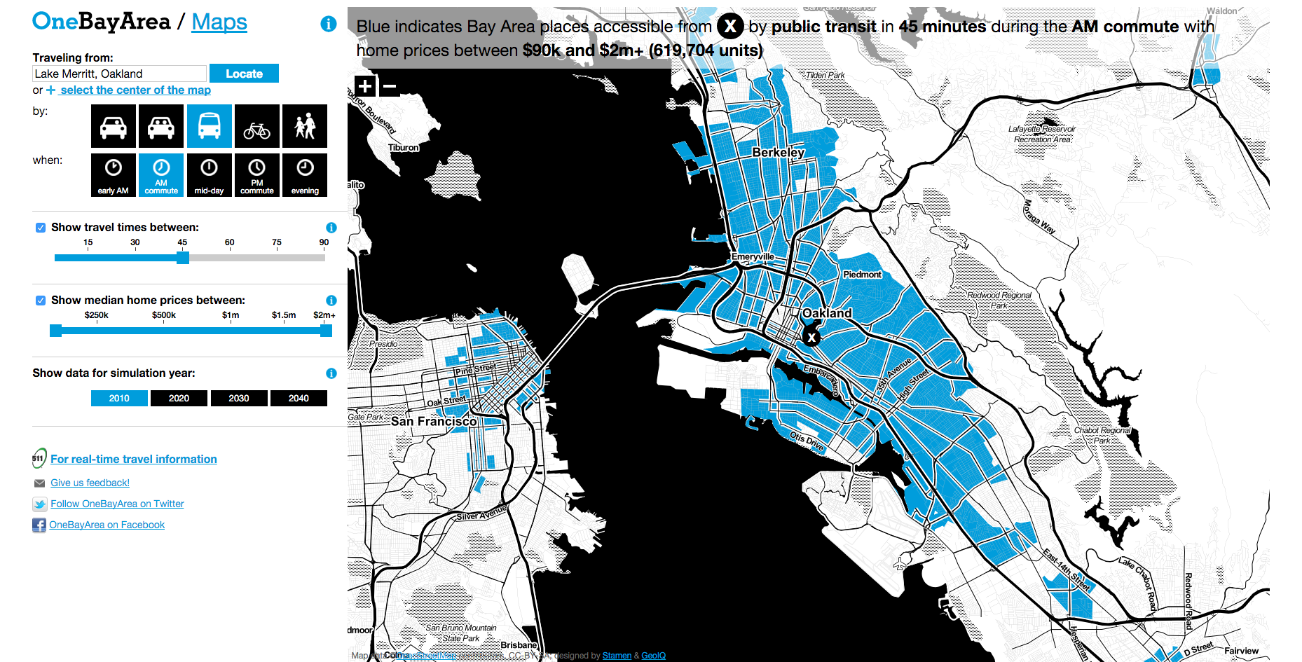
We worked with MIG on the OneBayArea interactive map, which shows approximately how far you can get from any point in the Bay Area by car, public transit, bike, or on foot, at particular times of the day. You can filter your view by the travel time between areas and the median price of homes in each area.
Let’s say that you were in the market for a home, and you wanted to know what neighborhoods to consider if you wanted to get to work by bike in a half an hour. Filtering out areas with homes averaging $900,000 or less would cut out a large swath of San Francisco. If you were okay with a 45-minute bike ride, though, there might be a place for you a bit further down the peninsula.
If you live in the East Bay, you can see, for example, that BART can get you to the Embarcadero or San Leandro more quickly than most of the areas between there and downtown Oakland. If we cranked up the travel time to 45 minutes, most of downtown San Francisco and the Mission would become accessible.