
Satellite-Image Mural for SPUR
Creating a high-resolution, 13,824,000 pixel map
Background
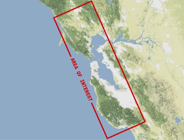
SPUR is a Planning and Urban Research Association based out of San Francisco, with offices in Oakland and San Jose. They asked Stamen to create a satellite image of the Bay Area for the wall of their office to highlight the breadth of their operation.
What we made
We knew two things early on. One, we wanted to show the entire Bay Area; from Marin to San Jose and San Francisco to Vallejo. And two, we wanted to completely fill the space where the piece was going to reside, a roughly 14’x40′ wall. If you’re familiar with the Bay, you will know the area of interest runs vertically, whereas our wall was a very wide, horizontal area. We decided to rotate the image counterclockwise to compensate for this.
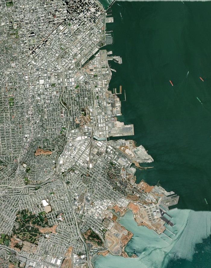
Typically images of this size (like billboards) are viewed from a distance so the resolution of the image isn’t a priority. However, since our map was going to be displayed in a room where it could be seen both up close and from a distanc,e we wanted to use the best, highest resolution imagery we could get our hands on. So we reached out to our friends at DigitalGlobe.
We then stitched the tiles together and prepped files for the printer, Dynamite Digital. We decided to print the map on an adhesive vinyl that would be applied to a substrate attached to the wall via french cleats. To help make the process easier we divided the image into 8 equally sized images and applied them to 8 identical substrates.