A collection of all blog posts by Alan McConchie.

blog/Alan McConchie

Spatial Data Visualization Classes at Stamen are Back!

Alan McConchie | 05.04.17

I’m pleased to announce that we’re offering our popular mapping and visualization classes again this year, in our Mission District studio in San Francisco! This pair of classes focusses on how to design and build interactive online maps using the latest open source visualization tools. Learn how to combine data and design to make beautiful...
Stamen and friends at State of the Map US

Alan McConchie | 07.28.16

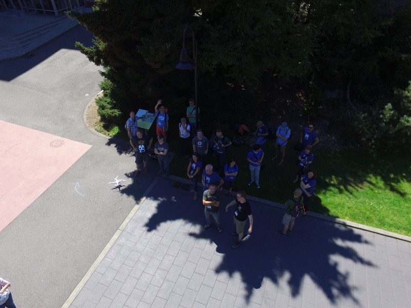
Last weekend Seth and I attended the State of the Map US conference in Seattle, to catch up on all things OpenStreetMap. We were joined by many Stamen alumni, partners, and friends who gave some very interesting talks as well. Here are links to videos of some of the presentations that Stamen had a hand...

OpenStreetMap past(s), OpenStreetMap future(s)

Alan McConchie | 04.08.16

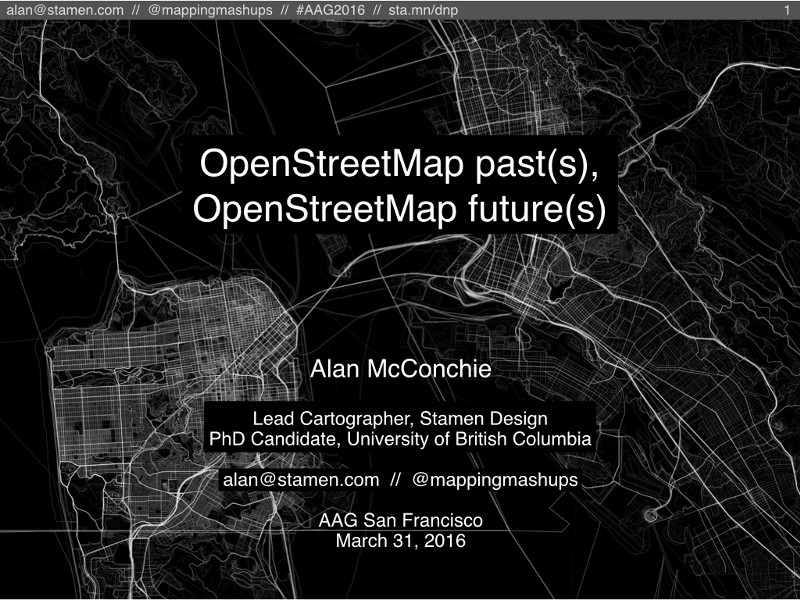
I gave a talk at AAG last week, as part of a session about OpenStreetMap data analysis. [UPDATE: I gave a similar talk at State of the Map US in Seattle on July 23, 2016. You can watch the video on YouTube. UPDATE #2: Maurizio Napolitano translated this post into Italian!] Slides at http://sta.mn/dnp I...

Visualizing the Past, Building Tools for the Future: Designing an Interactive Atlas of American…

Alan McConchie | 02.29.16

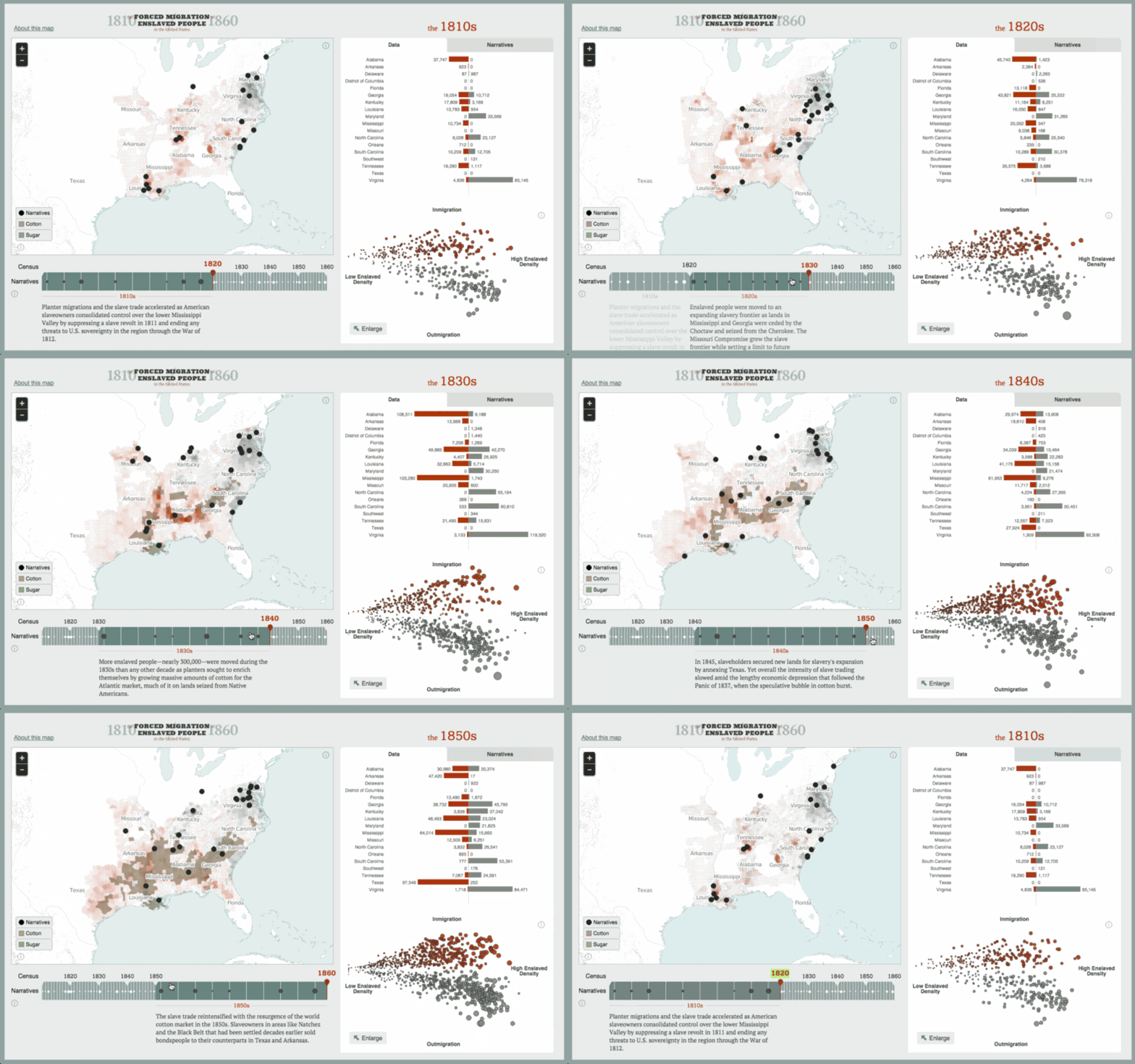
Last week I gave a couple of presentations around the Bay Area about Stamen Design’s recent project American Panorama. https://twitter.com/jskdecker/status/702705476648067073?s=20 American Panorama is the result of more than a year of work with the Digital Scholarship Lab at the University of Richmond, and it’s extremely satisfying to finally get to share it with the world...