
Change a Neighborhood’s Poverty or Wealth With a Mouse Click
Next City
06.29.2017
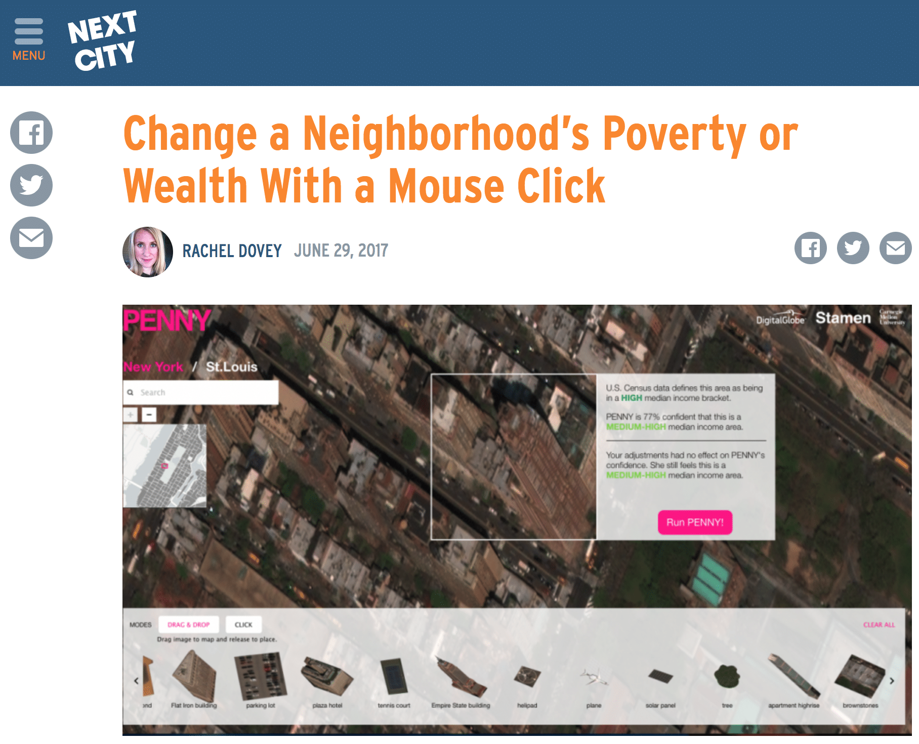
It’s no secret that freeway proximity hurts property values, and well-maintained green space has the opposite effect. But a new tool that allows users to move around elements of a given cityscape — basketball courts, solar panels, parking lots — to see how they affect a neighborhood’s median income goes beyond those intuitive polarizations for a more layered view that, correct or no, gives some interesting insights into both city planning basics and artificial intelligence (AI).
The tool is called Penny, and it’s billed as “an AI to predict wealth from space.” Created by Stamen Design and Carnegie Mellon University, Penny uses high-resolution satellite imagery courtesy of GBDX (an analytics platform from DigitalGlobe) and neural networks trained on both census data and the imagery “to learn which features in the satellite images are correlated with household income,” according to a release.