
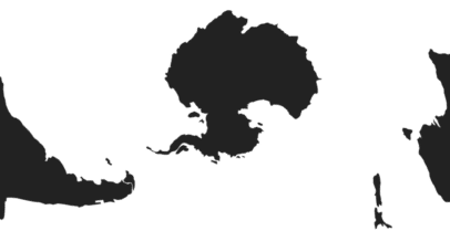
An ode to d3.js projections
When it comes to making maps online there are many tools available, but they all have one thing in common: Geographic coordinates go in and a two-dimensional image comes out. Converting from geographic coordinates (longitude,latitude) to pixel coordinates is accomplished via a map projection. Most of the tools made for online map making focus on facilitating the navigation...