
Last week, we kicked off a project at Stamen that we are very excited about: Portable OpenStreetMap (POSM). We are working in collaboration with The American Red Cross and SpatialDev to make OpenStreetMap, OpenMapKit, and Field Papers, all network-centric mapping technologies, available for field deployments in extremely remote areas of the world to support the Missing Maps effort.
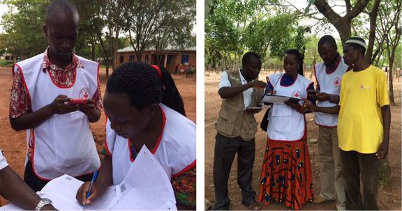
POSM has the potential to be a real game changer for Missing Maps. Many of the areas they are mapping have periodic or unreliable internet access. Some places in West Africa, for example, have none at all. This makes the process of collecting data and contributing to OpenStreetMap difficult and time-intensive. POSM will consolidate these cloud-based tools into a portable server that can be deployed in the field, acting as a temporary local data hub for digital mapping, surveying, and field media collection.
This is exciting for Stamen for many reasons. First, it makes open mapping tools more accessible globally. Second, it lowers the threshold for participating in online mapping even further, to not even requiring internet access. It also expands Field Papers’ role within global mapping initiatives, and allows us the opportunity to field test and to observe how the Red Cross and Missing Maps are using the tool. We will be working closely with a great collaborative team, and if this past week’s kick-off is any indication, it should be fun and productive project!
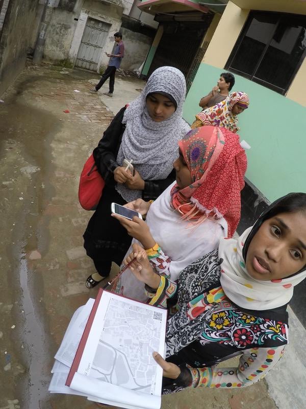
Missing Maps is an effort to map areas of the world vulnerable to disaster on OSM. Often this type of mapping effort only happens after an emergency. With Missing Maps, if a disaster hits, global response is able to hit the ground running with thorough knowledge of the area. Beyond supporting global open mapping, Missing Maps helps train local volunteers in digital mapping tools, and works with them to map their communities. POSM will be field tested with the Missing Maps team this spring in West Africa, and be fully ready for deployment by the summer of 2016 to facilitate mapping worldwide.
Follow along here:
https://github.com/AmericanRedCross/posm