
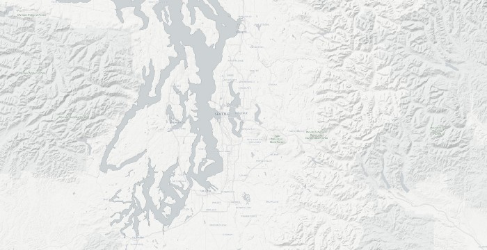
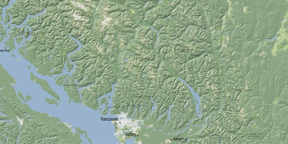
Open Terrain
A global set of terrain maps stitched together from multiple sources
We’ve been quietly working under a grant from the Knight Foundation to do something that no one seems to have done before: publicly compiling as many open-licensed, locally-created terrain data sets as possible to stitch together a global set.
Esri, Mapbox, NASA,Google, Mapquest and others already make terrain maps available. The challenge this project is intended to address, in addition to bringing a different set of design values to the maps themselves, is access to what’s under the hood. Access to the underlying data is often proprietary (like Esri’s terrain data) or otherwise restricted. This means that if someone wants to experiment with this data, they’re pretty much out of luck. Low-resolution data exists for the whole world, thanks to NASA and their freely available SRTM 90m dataset, and the ongoing release of 30m data. The challenge is that once you start zooming in, even at 30m resolution, the visual impact of the data starts to break down.
We crowd-sourced terrain data and made our maps publicly available in our in-house terrain style as well as creating terrain-enhanced versions of the Positron and Dark Matter basemaps we designed for CartoDB. These basemaps are free for anyone to use in their own mapping projects!