One of the great things about Eric Fischer’s map experiments on Flickr is that he actually takes the time to geolocate everything. So if he’s making, say, a map of where people tweet vs where they upload photos in Montreal, the photo will tell you that it was taken in Montreal. Or if it’s he’s scanning a plan for the freeway design of South Valley Freeway, Highland Avenue to Day Road (1959), it’ll actually be in between Highland Avenue to Day Road.
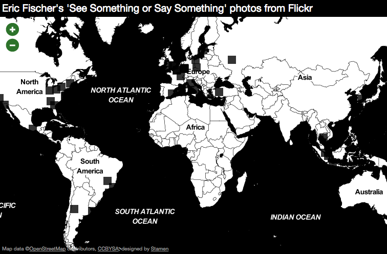
Which means we can make maps in Dotspotting that look like this:

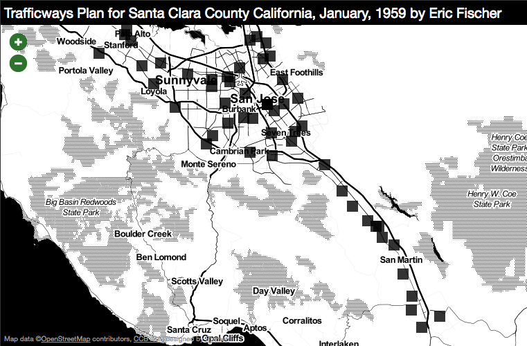
And like this:

(thanks to Sha Hwang for providing the impetus for this post)
