Cross-posted from http://openterrain.tumblr.com/
Two days ago a magnitude 7.8 earthquake struck Nepal. The Humanitarian OpenStreetMap Team (HOT) sprang into action, coordinating mapping activities from remote mappers (read about how you can help) and working with open source mapping groups on the ground like Kathmandu Living Labs.

One of the key components in any HOT activation is the humanitarian OSM style, hosted by OpenStreetMap France.
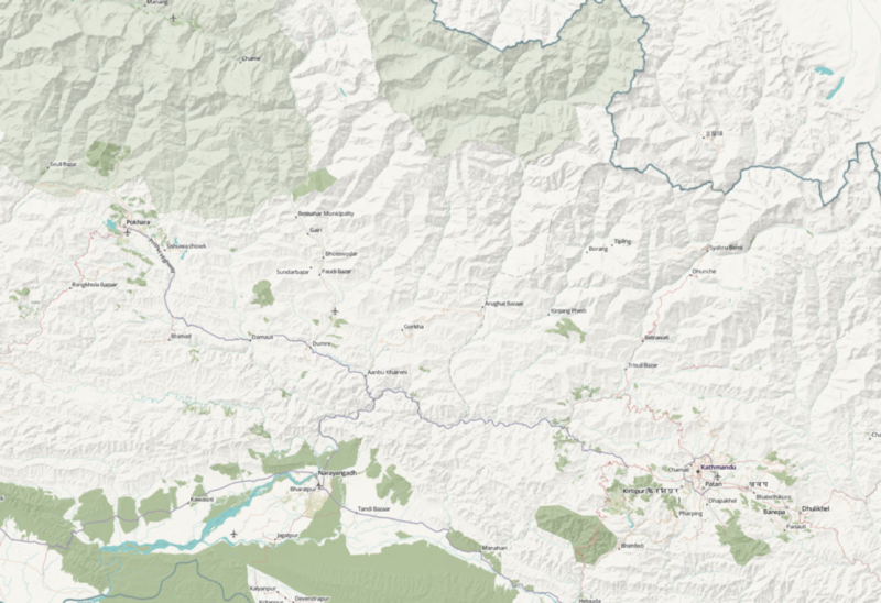
Unfortunately, the humanitarian style doesn’t include terrain data, which would be very useful when mapping in remote mountainous areas such as the Himalayan foothills that make up the hardest-hit area in this recent earthquake.
Using the SRTM 90m hillshade overlay that is the first outcome of our Open Terrain project, we created a composite style that adds hillshades to the existing humanitarian style. We’re calling this style humaniterrain.
You can access the style at this URL: http://tiles.openterrain.org/?humaniterrain#9/27.8403/84.9133.
This is a very rough attempt to get something useful up and running as fast as possible. Let us know if you have any questions, via email at openterrain@stamen.com or on twitter at @stamen.
