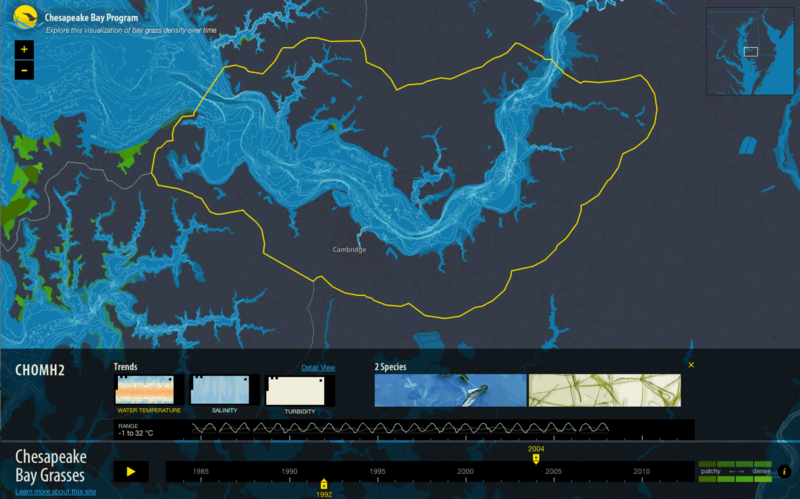
Today we’re announcing a new cartography and storytelling project called Chesapeake Bay Grasses with the Chesapeake Bay Program (CBP), a partnership of federal, state, non-profit organizations and academic institutions dedicated to the protection and restoration of the Bay. Stamen has been working with the CBP to develop a visual story about the health of the Bay, based on a ton of scientific data that has been collected over the last 40 years or so.
The Chesapeake Bay is the largest estuary in the United States. (An estuary is a body of water where fresh and salt water mix.) It’s about 200 miles long, with a total surface area of about 4,480 square miles, an average depth of about 21 feet, and the Bay and its tributaries have a shoreline longer than the entire U.S. west coast. Thanks to its watermen, the Bay produces about 500 million pounds of seafood per year, despite increasing pollution levels. You can read lots more interesting facts and figures on the Chesapeake Bay Program website.
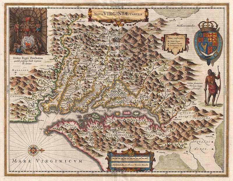
Here’s a (west-facing) map of what it looked like in the 1600s.
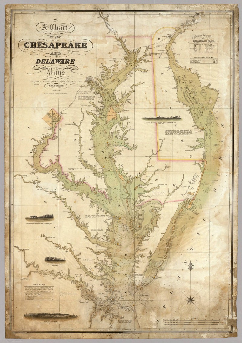
And a more detailed view of the Bay created in 1840 by Fielding Lucas Jr. in Baltimore:
As you can see, humans have been interested in the Bay for ages. In addition to the fisherpeople, citizens and pirates (!) that live or have lived on its shallow waters, there is also a ton of scientific research going on, much of which is lead by the CBP. The Bay is home to some 80,000 acres of bay grasses, and bay grass density over time is a great indicator of the overall health of the system. We worked with CBP and, in particular, Dr. Robert Orth from the Virginia Institute of Marine Science to create a map that helps show grass density across the Bay from 1984–2012. There’s a general challenge for scientists around the world to mine their gigantic research datasets for insight and stories, and this project is a first round at help the CBP do that.
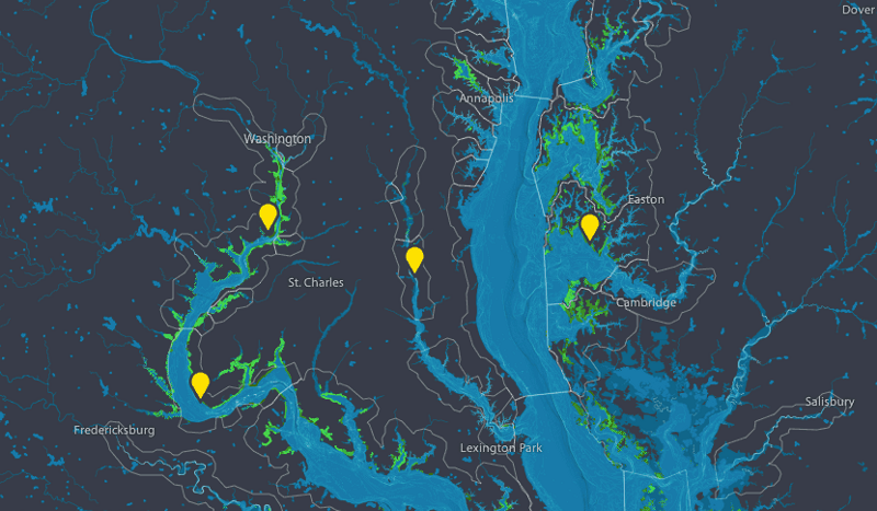
- Visit the Chesapeake Bay Program Bay Grasses Visualization project
Compare and contrast bay grass growth over time; zoom into bathymetry of the bay; review the “segments of interest” identified by Dr. Orth
Bathymetry
Knowing that the project was focussed on a body of water, and not the land ended up being a strong influence on the cartography we designed. But first, we had to make sure we could “operate” the remarkably comprehensive bathymetry data that CBP has. Here are a few of Seth’s first drawings, where we were trying to work out why there were odd “water-y alien crop circles” appearing in the middle of the bay:
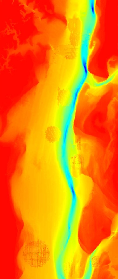
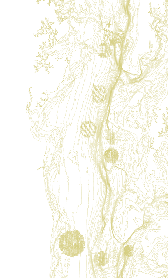
Turns out that the alien-y circles are probably data artifacts (dartifacts?) from a long-term Bay soundings dataset that had been interpolated into a raster. Nathaniel ended up fixing this more or less by hand, cutting and pasting non-alien pieces back into the larger picture.
In addition to a bunch of public datasets online at ftp://ftp.chesapeakebay.net, CBP partner, NOAA also has a selection of bathymetry datas available, if you’re interested to experiment with it.
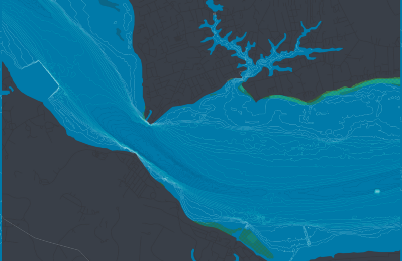
Here are some highlights of the bathymetry:
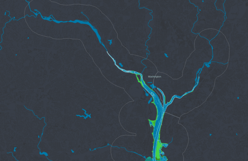
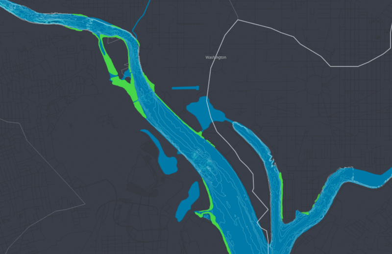
We gave the roads a very light-handed treatment because the water is the main feature of the map. There are enough roads to help locals find their way, and we labelled only a few of the major cities in the area, again to help people orient themselves, but never to overwhelm the water.
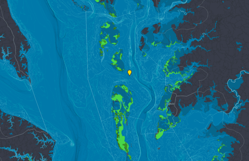
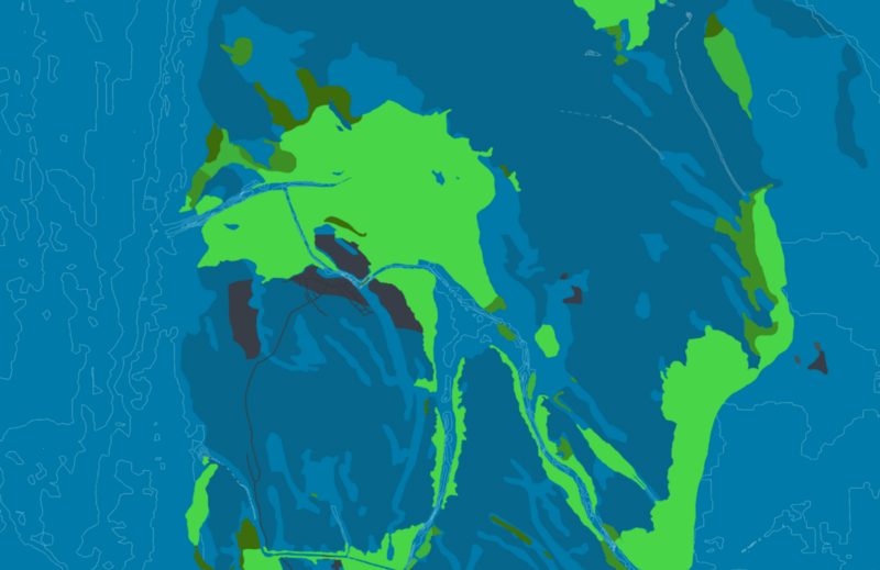
Tangier Island has been inhabited for years and years by fishermen and women. Crabs grow happily in the shallows around the islands, and you can see by comparing year on year, that the bay grasses where the crabs frolic have covered the area for the last 20 or so years. Dr. Orth explained it like this:
Tangier Island is home to one of the biggest grass beds in the Chesapeake Bay, and many island residents continue to make their livelihoods fishing and crabbing among the eelgrass and widgeongrass that grows here. While both of these species are typically found in high-salinity areas, they continue to thrive in the medium to low salinity of the region.
We’re excited that the CBP now host the tiles themselves, and look forward to seeing this bathymetry used to help tell other stories with their data into the future.
