This is the first in a series of updates on Seth’s travels to map some of the poorest areas on earth by extending Field Papers, a project we’re working on with The American Red Cross and our friends at Spatial Dev. There’s a brief intro to that project here.
We left DC on Sunday morning from Dulles. Copa boards early, apparently.
The flight to Panama City (Copa’s “Hub of the Americas”) was akin to flying across the US, but on an airline where the primary language is Spanish (English and Portuguese are secondary). I had an exit row and had to fake my way through the part of the criteria that said that I needed to understand instructions in Spanish during an emergency. I shook my hand when I was asked how my Spanish was. It’s pretty much non-existent, but thanks for years of Latin and French, I can often get the gist of things.
Anyway, uneventful flight leading to a new continent for me!
Panama City was hot as we walked up the jetway (95º?). The airport itself primarily serves Copa flights, practically all international (are there any other major airports in Panama), so the shops in the terminal were super high-end (more so than all but the most significant airports in the US).
I don’t think I had a chance to see the canal as we flew into Panama (the downside of having an aisle seat), but I did catch a glimpse of Panama City itself and some of the ships on the Pacific side. The city has quite the skyline.
From Panama City, it was about a 2 hour flight to Guayaquil, the largest city in Ecuador. Empanadas were served. Immigration was incredibly easy and the checked Red Cross bags were waiting for us on the carousel as we got out.
Holger, one of the Cruz Roja Ecuadoriana employees, met us in the airport and flagged a pair of cabs (no brakes!) for the quick (and mildly adventurous) ride to the hotel. Andrew was arriving from Colombia later, it was already 5:30p, and Huaquillas (pop. 40,000ish) is a 4 hour drive form Guayaquil, so the ERC opted to have us stay there for the night.
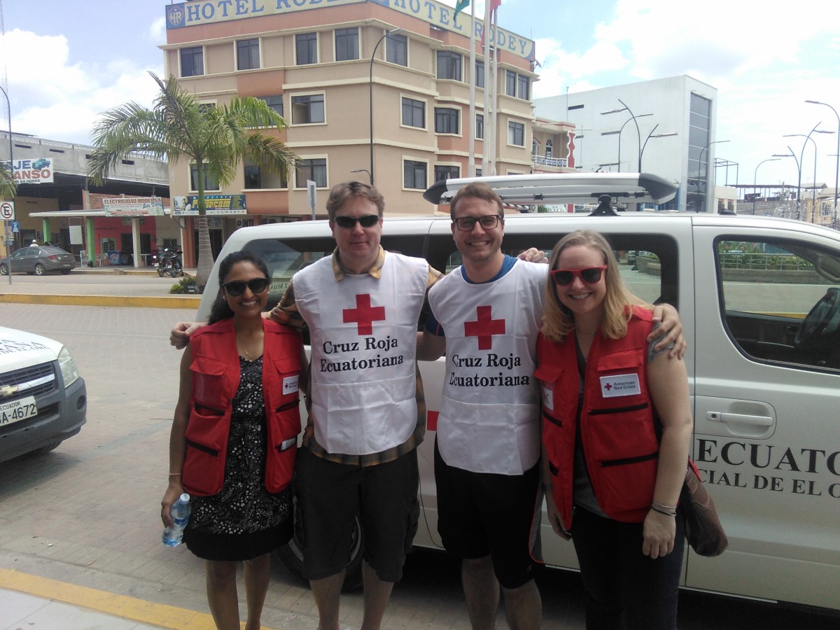
The four of us (Dristie the Missing Maps lead, Rachel her co-worker, Nick from SpatialDev, and I) went off in search of groceries and ended up in a 3-story mall. Simon, Westfield-style mall. We could have been anywhere in the US had it not been that everyone was speaking Spanish and most (but not all) of the stores had Spanish signage.
We ate at the food court, debating whether to drink the juices that we’d accidentally ordered (we opted not to after a cursory Google search about the local water quality).
On our way out of Guayaquil the next morning, my overall sense of the city (at least the parts we passed) was that it felt a lot like the Mission in San Francisco. As I kept looking, I refined that thought: drab khaki-colored buildings with occasional splashes of color and a mixture of hand-painted and commercially-produced signage. Security guards manning gas stations, bank entrances, and places like our hotel. The occasional urban car dealership. A more prosperous (but not San Francisco-gentrified) version of the Mission with alternate traffic norms.
As we passed through the outskirts of the city, the character of the buildings shifted to one- or two-story concrete buildings with open facades supporting a variety of small businesses.
This continued as we headed south, passing fields and increasing numbers of banana orchards. Between small towns (typically located near significant road intersections), houses were often built on stilts over wetlands and/or areas that frequently flood. My primary impression of the small towns was the row of indoor/outdoor bodegas (selling water and snacks from metal shelving in partially-constructed concrete buildings), small restaurants, traveler services (24-hour vulcanization), and miscellaneous other vendors.
Pan Americano buses ply these roads between Huaquillas (at the Peruvian border), Guayaquil, Quito, and elsewhere.
At some point, I began noticing more blue “Plastigama” cisterns on rooftops, presumably providing running water in areas that didn’t have municipal services. I’m not sure of the state of the houses between Guayaquil’s outskits and the appearance of the cisterns; perhaps those areas were poorer and lacked running water entirely.
…recognitition of areas that have been “invaded”, allowing people to purchase the land that their houses occupy from the government. Neighborhoods are governmentally-recognized units here — ciudadelas — with individual mayors. RITA (the Resilience in the Americas program) has identified 4 at-risk areas for attention and investment (it was originally 5, but the 5th was deemed to be less at-risk) that we’ll be working in.
So far, involvement has meant building / improving community centers and playing fields. In one case, a playground and basketball court were added next to a school / community center, complete with overhead lighting (lights = safety, expecially in these areas). A side-effect of the additional community use as a result of being more appealing was that road that ran by was substantially improved (in the areas where it hadn’t been filled with gravel it was very similar to quicksand, largely left-over from the major rains 2 weeks ago).
I’m still unclear on the extent of “risk” that’s been assessed, but much of it appears to be disaster-related, particularly flooding (but earthquakes are cited as a reason too). The first community we visited had a ditch running through it that would often fill and flood low-lying areas (I have pictures of this). The community center (where the public address system used in case of emergencies by the ciudadela’s mayor) is across the ditch from the mayor’s house, so it sounds like the PA may be moved in the future.
After our community tour, we were driven north to check out one of the local shrimp (camerones) farms. It was late in the day, but we still saw a few people rowing around the ponds but no one sitting in the seats used for catching shrimp. On our way back, we passed a dog guarding another of the farms.
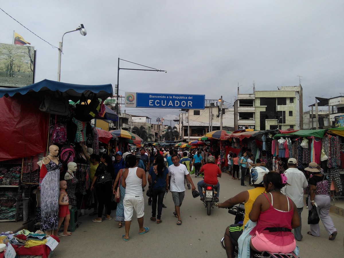
How to cap off our first full day in Ecuador? Go to Peru, of course. Aguas Verdes is directly on the other side of the small (tiny!) river that serves as the border between Cantón El Oro and Peru. There’s a short bridge filled with vendors of all sorts and more importantly: an open border. Prices for merchandise (clothing, electronics) are much lower in Peru, so it’s a popular place to do some quick shopping. Given the proximity, there are more shops a car-ride away that many of the volunteers are looking forward to visiting during our day off on Sunday.
Gas, on the other hand, is substantially cheaper in Ecuador (slightly higher than Canada, I think) which means that Huaquillas experiences a fair amount of smuggling activity. Moreover, there are quotas on how much individuals can buy ($10/day for cars, $5/day for scooters and motorcycles). As a result, many of the vendors we saw while driving around the city also displayed large glass Coke bottles filled with gas.
Until Tuesday morning, our primary contact had been with the local organizers and senior volunteers who had come in from elsewhere in the country (some from Quito, Guayaquil, Peru and at least 1 person from Panama).
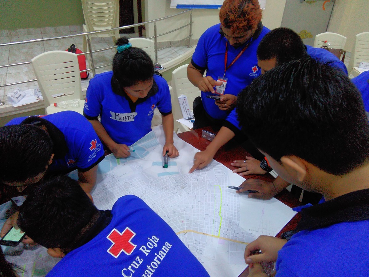
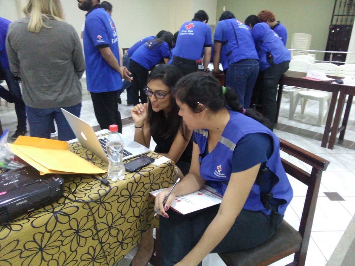
We met the remaining 20–30some volunteers the next morning in the event space on Piso 5 (the top floor of the hotel). Most of them are fairly young, but there are a few people who’ve worked/volunteered for the Red Cross around the world. (I learned today from a Peace Corps volunteer working with the El Oro chapter of the Cruz Roja in nearby Machala that this may indeed be a youth-oriented program.) All are trained first responders and are very focused and enthusiastic. One of the requirements to be part of this training was to be able to commit to a week and a half. Many of the older volunteers appear to deeply understand the need for sustainability when it comes to initiatives like this. We aren’t doing the work for them, we’re giving them the tools to continue to do it on their own. I’m excited to see how it spreads (especially due to the general youth and the involvement of a couple of local government GIS people). Audie (the Peace Corps volunteer from Machala / New Orleans) has already expressed a desire to help people map Machala, which is apparently the 4th-largest city in Ecuador but “stuck in the 1970s”.
Everyone is staying at the same hotel and there’s a restaurant downstairs, so it has the feeling of staying at a resort or a convention. The food is a bit repetitive with lots of rice and plantains, but good. Carb-heavy. The rooms are small and spare but clean.
The hotel itself is on what appears to be the primary square in the city (I believe that the city offices are kitty-corner). This means that every afternoon something happens on the plaza. On Tuesday, it was what appeared to be a protest against the mayor (Ronald Farfan). Similar for Wednesday. As of about 15 minutes ago, someone is playing recorded music. It’s possible that the protest may start up soon.
One of the communities is hosting a ciné fora this evening for the taller (workshop) participants, about Dengue, Zika, and Chikungunya (mosquito-spread diseases). We need to do some more prep work for tomorrow, but it won’t go as late as last night (we were up until midnight creating Field Papers and preparing the phones with the data needed to do the initial enumeration of the area around the hotel).
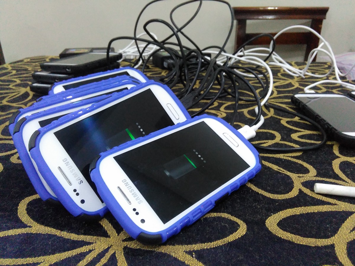
Tomorrow morning we begin mapping the communities in earnest. We’re starting at 8am so we can finish before the sun gets too high overhead (like directly overhead — we’re just south of the Equator and it’s practically the Equinox, after all). One of the facilitators reminded us all again that we should leave the communities by 5pm for safety reasons. They seemed quiet (only a few people around, mostly women and kids) when we did our visit on Monday, but perhaps that’s because it was day-time and light.
There are things called “trésmotors” (maybe?) that are basically tuk tuks. They’re not street-legal (or allowed in the city proper), but they appear to be the primary mode of transport for people to get from the communities closer to the center of the city. Taxis and scooters are the transportation of choice closer to where we’re staying.
Needs something else about what‘s’ happening next & how to find out more about the project.
