The World, Stamen’s first iPad app and our first project with the National Geographic Society, is available for download from Apple’s app store today.
Yeah!
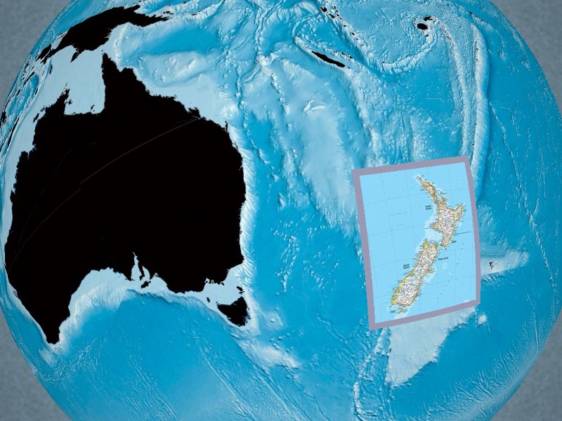
The heart of the app is a globe of (you guessed it) the world, with overlays of National Geographic’s unmistakable cartography available for the different parts of the earth. Each of these maps can be layered over a reference, terrain or ocean globe, and you can mix and match the different styles as you like.
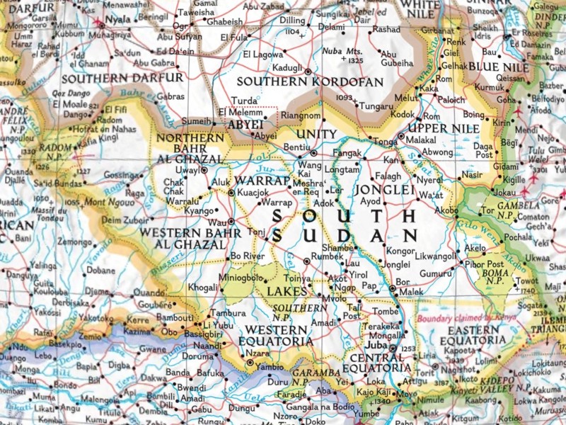
National Geographic has their act together in the map department, as you can imagine, and it was a great pleasure working with some of the best cartographers around (and classy too: I got a yellow border pin for my suit lapel as part of the deal). The maps are up to date, and just before launch we were glad to be able pull in a map for the newly formed Republic of South Sudan (which Google doesn’t show yet on their maps almost a month later, nyah nyah):
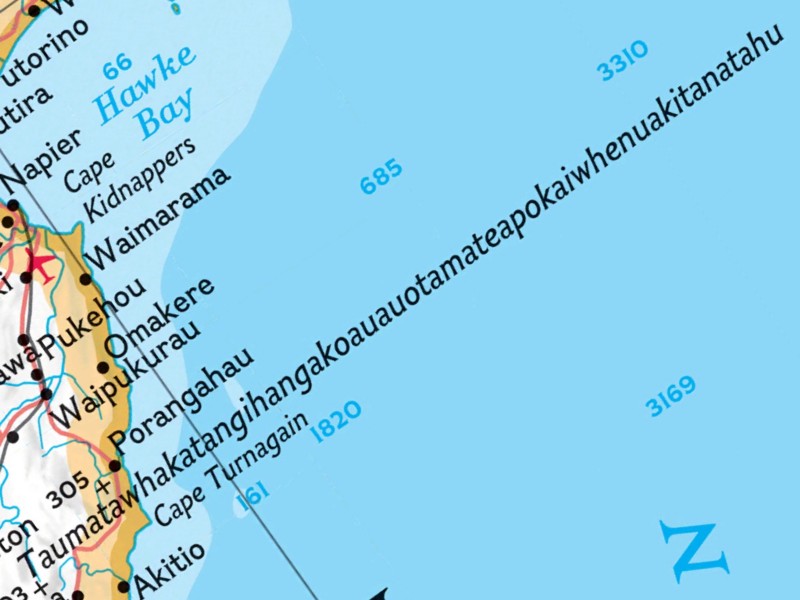
NG’s mapping style also allows for some really wonderful cartographic moments, like this example ofTaumatawhakatangihangakoauauotamateapokaiwhenuakitanatahu spilling out into Hawke’s Bay:
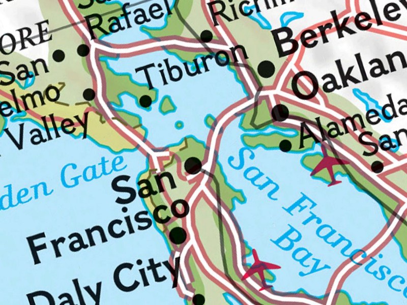
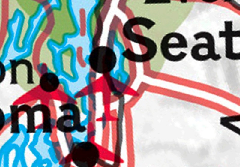
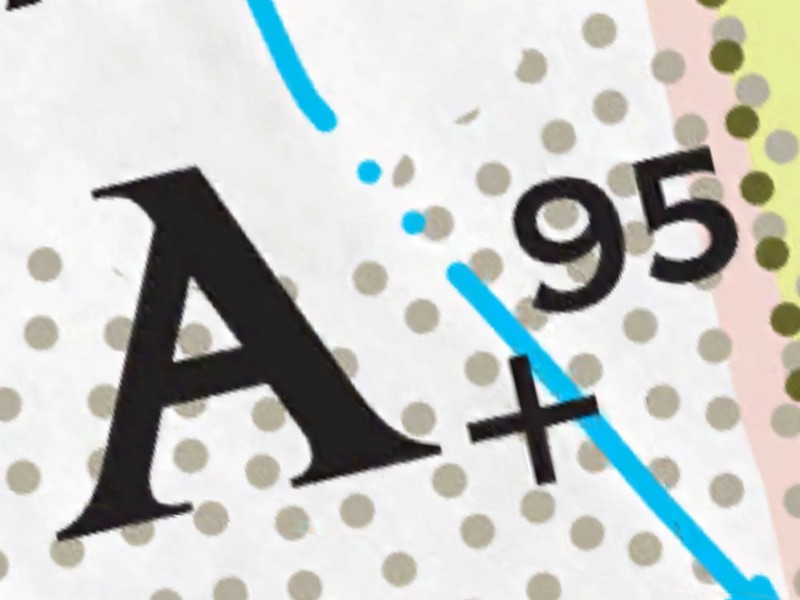
It’s easy to lament the move to online and digital mapping as being a move away from the tactility of paper maps; to pine for a time when decisions about line weight and printing layers mattered. One of the great pleasures of working on this project has been that the app allows for investigation of the cartographic decisions that National Geographic’s map makers made even beyond what would be available in print without a loop. Jess Elder, our project sponsor at the Society, agreed early on to supply us with maps that had been generated at a minimum of 600dpi and in some cases as high as 2400 dpi (paper maps are generally around 300dpi).
So without too much effort you wind up being able to really get in there and see the kinds of decisions that go into the distinctive nature of these maps:
There’s alot else happening in the app — nations, maps, and pictures too, and especially the ability to tweet, mail and post screenshots directly to Facebook — but I’ll save those for a later post. From my perspective the project is basically one big wet sloppy kiss from Stamen to National Geographic’s cartographers.
This project wouldn’t have happened without the hard work of Ryan Alexander on the 3d spinny map action and Zain Memon on the back end. We usually don’t call out individual people at Stamen — we’re a collaborative studio and everyone has their role to play in contributing to each project — but in this case I’d be remiss if I neglected to mention the hard work that Jeff Easter put in to both learning iOS from scratch and pulling the whole experience together.
You can download the app here.
