It’s an exciting time to be interested in birds!
Parrots are giving testimony in murder trials. Night parrots, thought to be extinct for 100 years, are being captured and tagged. Thousands of glowing pigeons carrying LEDs are flying through the air in giant collaborative night-time flocking art projects. And as of today, our new raptor tracking project with MPG Ranch is live!
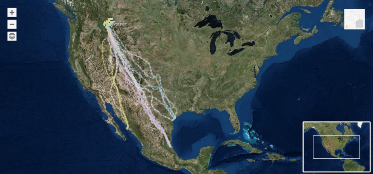
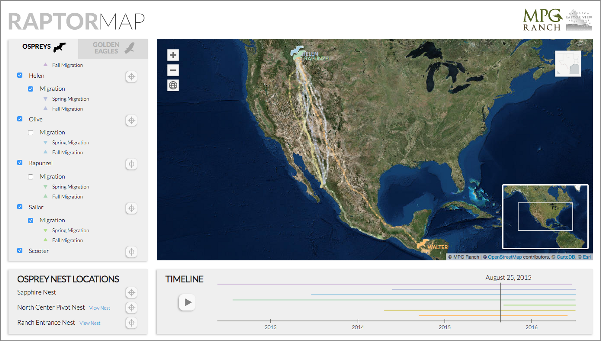
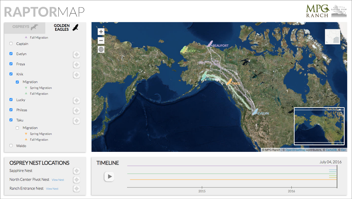
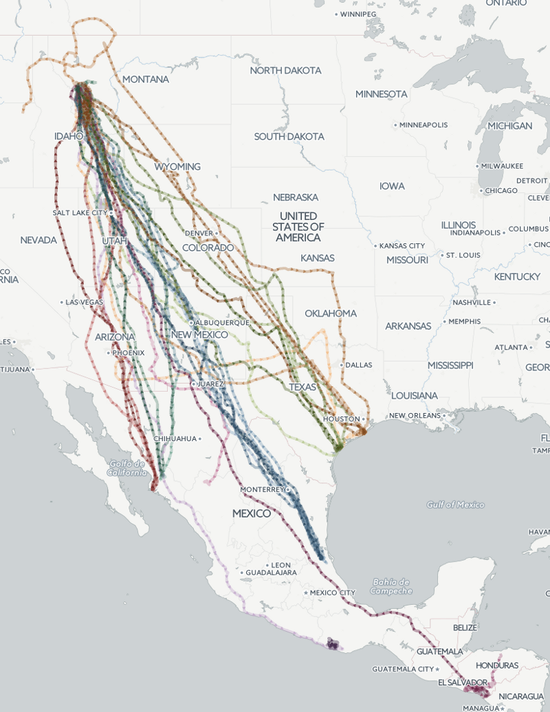
Seven ospreys and eleven golden eagles are being tracked on a daily basis as they travel from their winter homes in Mexico to their summer homes further north, passing through a ten-thousand-acre ranch in northern Montana that engages in a wide variety of scientific and conservation projects.
Here are the ospreys, which summer at the ranch:
And here are the golden eagles, which also winter in Mexico but spend their summers in Alaska:
The work involved more than designing a map to track the birds. Previous efforts to map these tracks involved loading data directly from where it’s stored at MoveBank, which is a great free service but can creak a bit under heavy loads. This meant that whenever there was any press about the project, load time became a significant issue. So we’re loading data from MoveBank once a day now and storing it locally, reducing the load on MoveBank and improving the experience for everyone. It’s this kind of detail that often gets lost in science projects on the web, and we’re glad to be continuing to work with scientists on making their work easier for the public to interact with.
It’s been great fun to get involved with these birds. When we started the work earlier this year the ospreys were in Mexico, so we got to watch them move north over the duration of the project. And it’s been especially entertaining to watch the live cams in Montana as the birds came home to roost earlier this year.
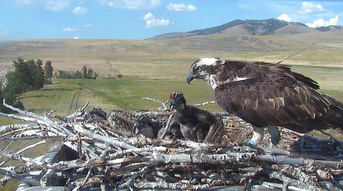
Also, ospreys are amazing, and basically dinosaurs with feathers:
Their environment is pretty easy on the eyes too. You can see the tracker antenna in this image:
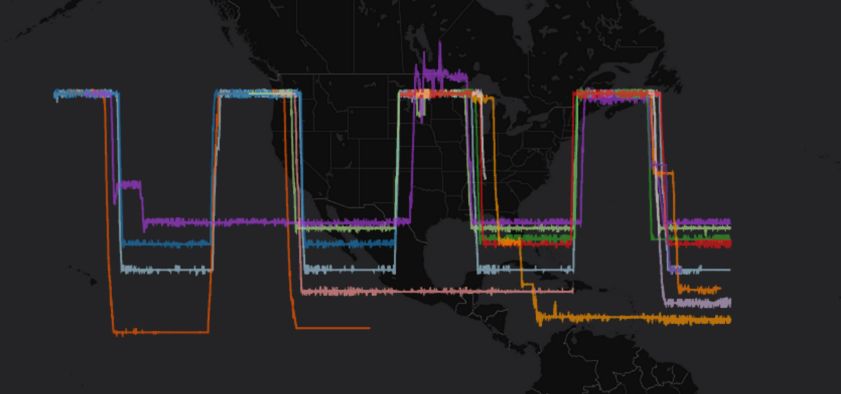
We experimented with several different techniques for representing the bird tracks, eventually settling on what we’re calling “ladders” but finding some fun ways to represent distance and direction along the way:
Visual data exploration is key to the process of coming up with the right solution. This early prototype uses the x axis to represent time, and the y axis corresponds to latitude. You can see that the purple osprey, on its first trip to Mexico, stays through the summer its first year, and then falls into a yearly back and forth pattern after that. This is typical for ospreys in their first year of migration. And some lines end, which typically means the bird has died 🙁
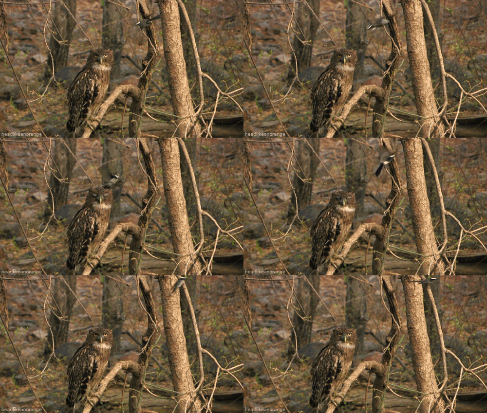
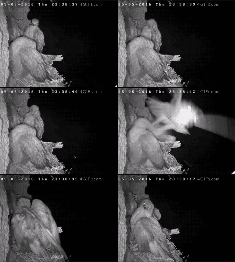
It’s sad, but it happens, and in these days of ubiquitous cameras sometimes it even gets recorded:
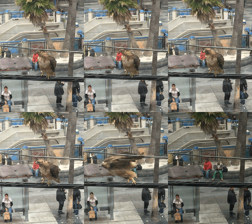
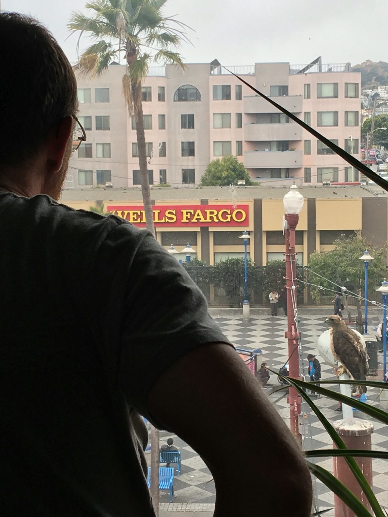
UPDATE as I was finishing this post, a red tailed hawk landed on the telephone wires outside Stamen HQ and treated us to a full ten minutes of nose to nose raptor action. I’ve seen it before over the years but never for that long. It was pretty great to be that close to something that seems so “natural” in one of the City’s busiest intersections. I love you, California!
