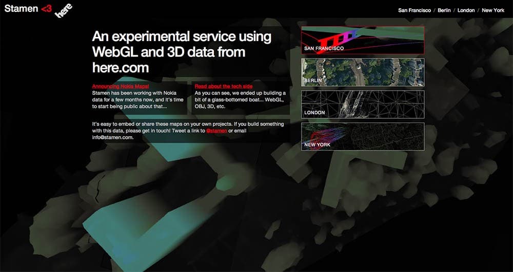
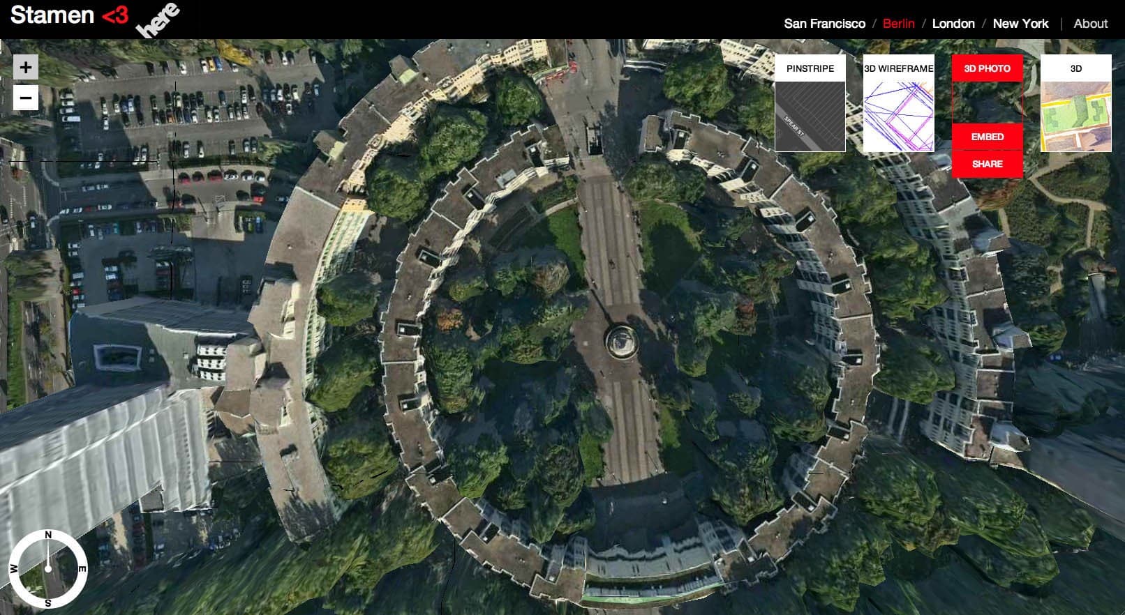
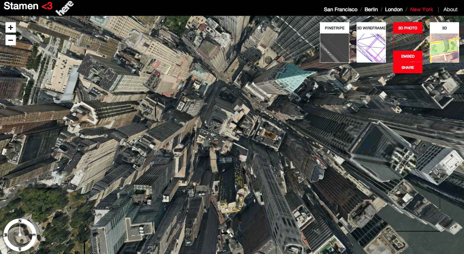
Experimental 3d maps for HERE
Finding ways for developers to use data from one of the world's largest suppliers
Here, a Nokia business, has spent decades building a deep library of map data, and gave Stamen a broad remit to investigate how designers and developers can use that data to innovate and explore an ecosystem built around the idea of ‘living maps.’ The idea was: take a look at the broad range of data that drives the HERE product portfolio, help to figure out the best ways to release the right bits of that data to developers so that a healthy ecosystem can flourish around it, and build prototype projects on top of that platform to light the way.
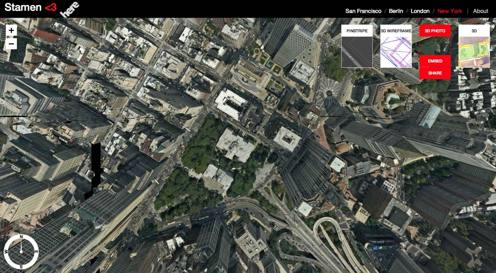
As you can imagine, HERE has all kinds of data, from driving directions to base cartography to extensive LIDAR surveys of worldwide cities. We looked under the hood at a variety of these, and evaluated them on several different axes: complexity, comprehensiveness, uniqueness, and accessibility. We looked for a sweet spot where we could find (as we do) the next most obvious thing — a dataset that was right on the edge of being useful and interesting to a broader public, one that hadn’t been widely used before, and that was accessible to us as new HERE partners. We wanted to be professional amateurs here; coming in from the point of view of a newbie developer without a lot of experience navigating corporate hierarchies who just wanted to make something cool without getting lost in this wealth of data, and see where we could end up.
The What:
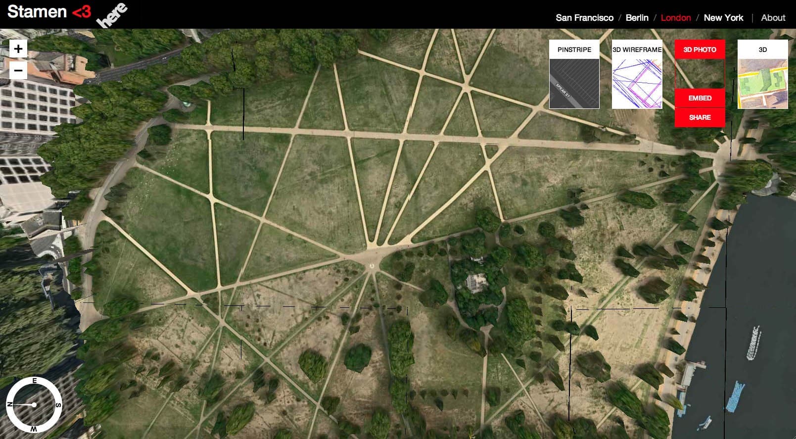
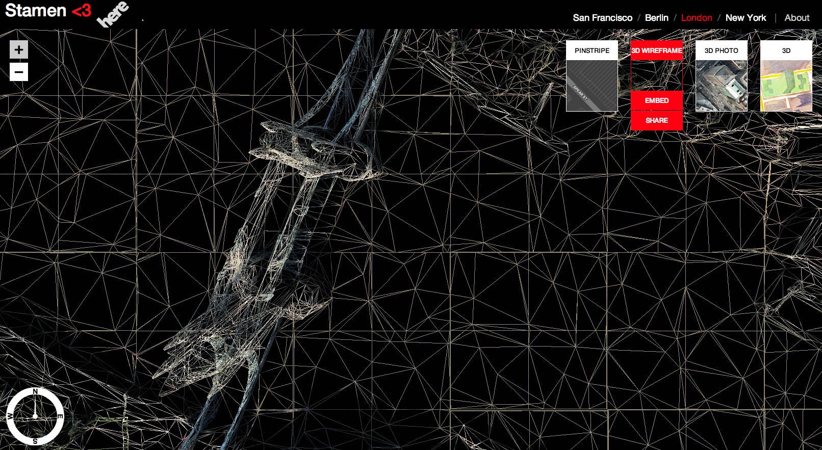
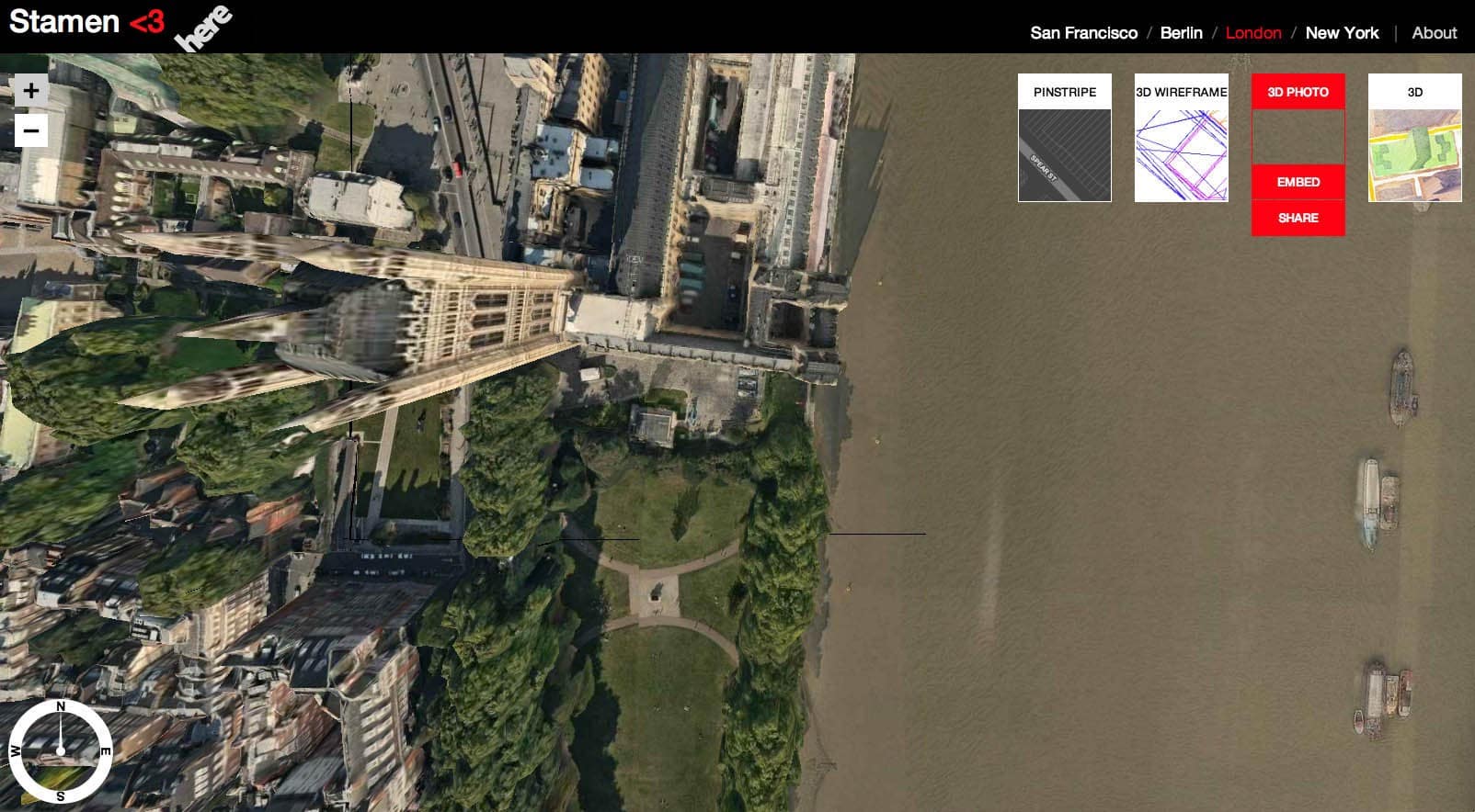
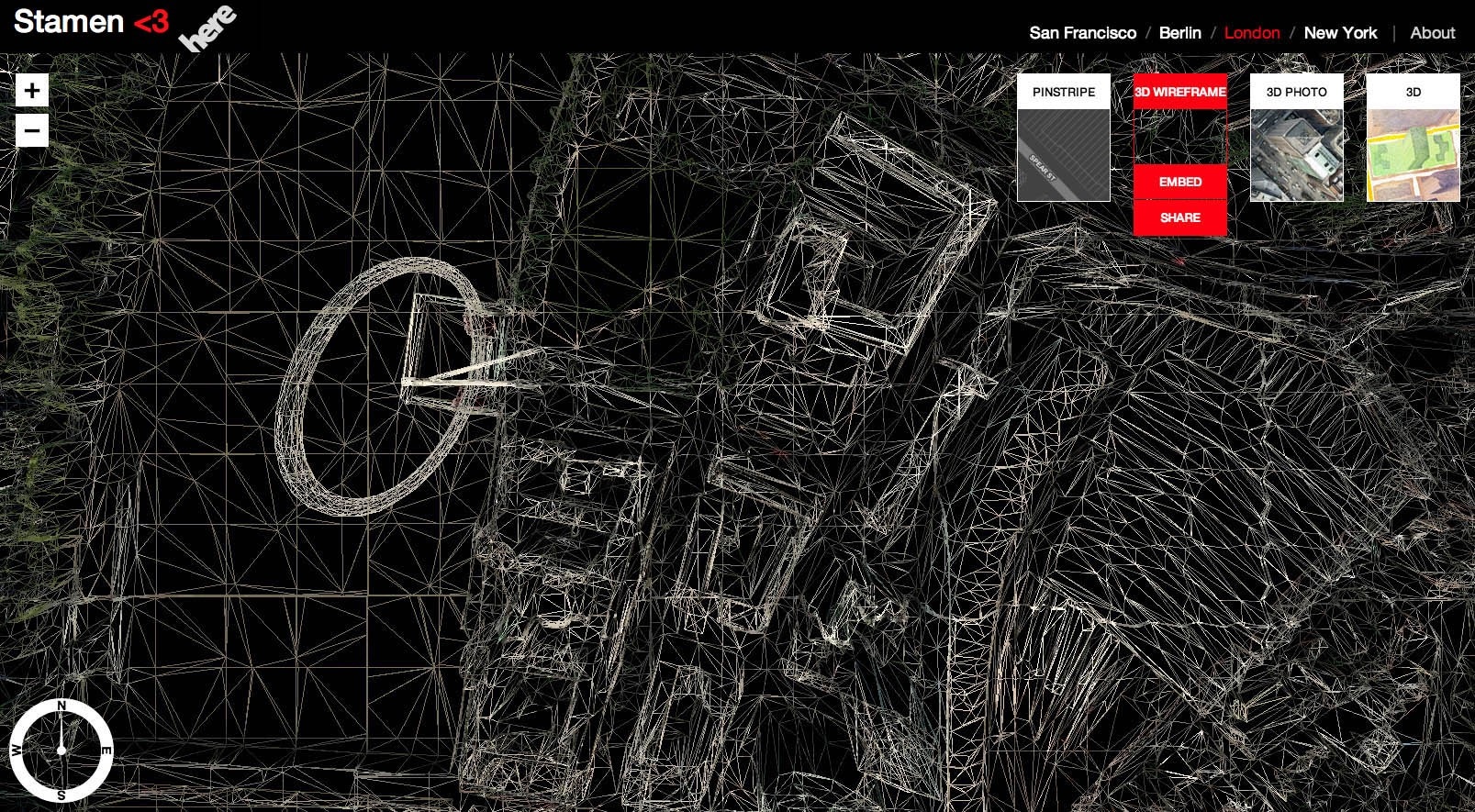
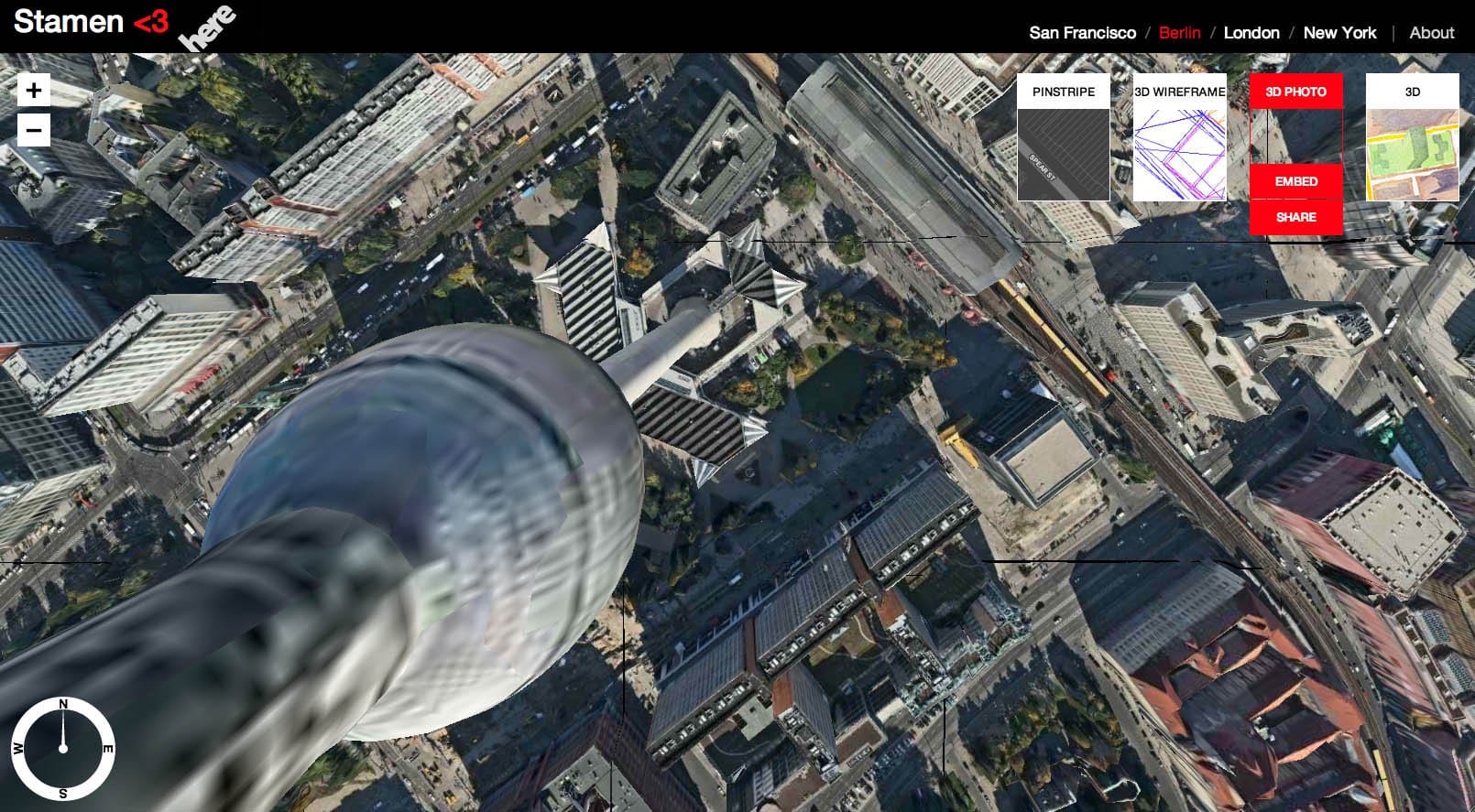
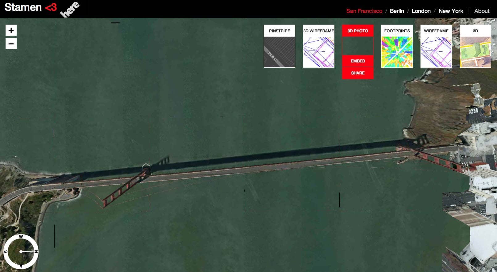
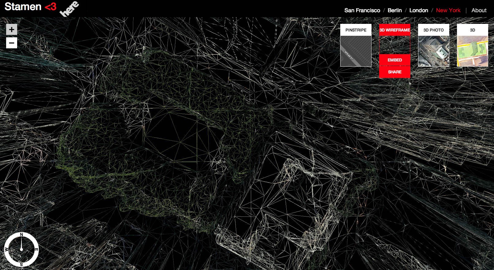
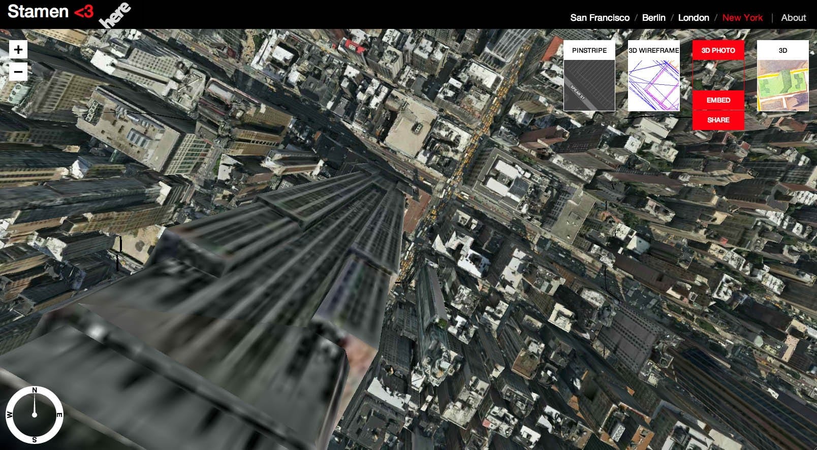
The exercise started with some code that our friend and former colleague Mike Migurski started playing with to extract HERE data from their 3D tiles. Along the way several people at Stamen weaponized that code, HERE made their data available for us to play with, and we used it to build out maps of four global cities: San Francisco, New York, London and Berlin. We built a framework sitting on top of that that lets this data be embedded, linked to, layered on top of, and generally made internet-happy in a way that we hope will let a thousand flowers bloom.