A mapping platform for the London 2012 Olympic Games
Designing a mapping platform for the London 2012 Olympic Games
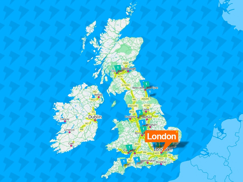
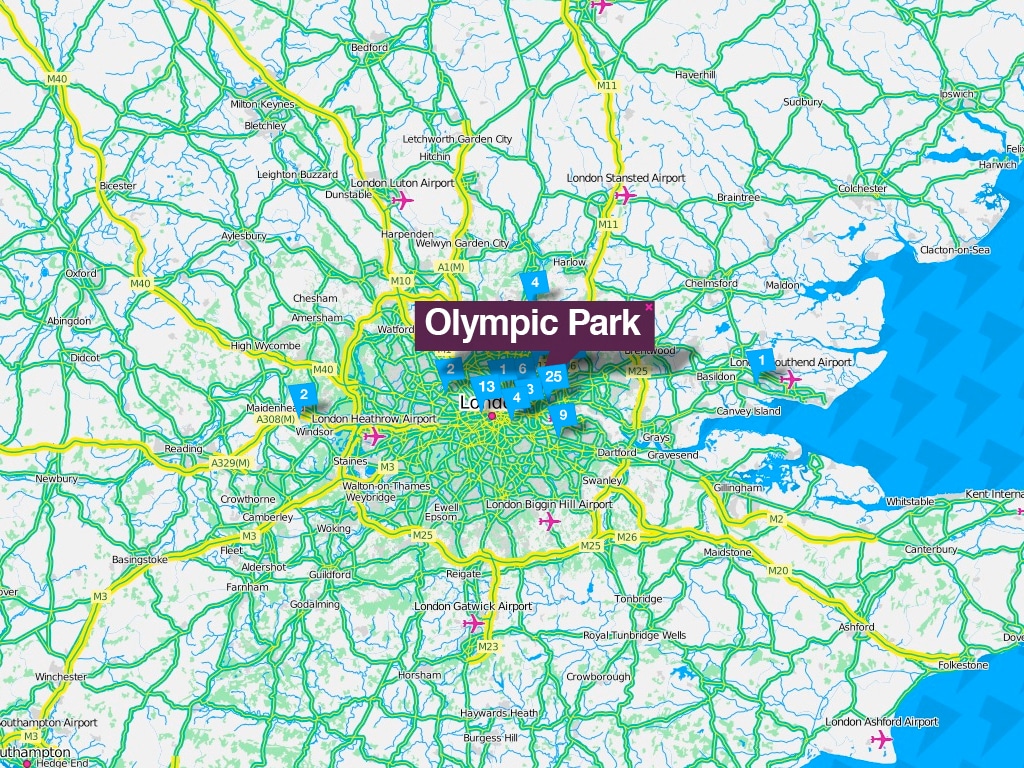
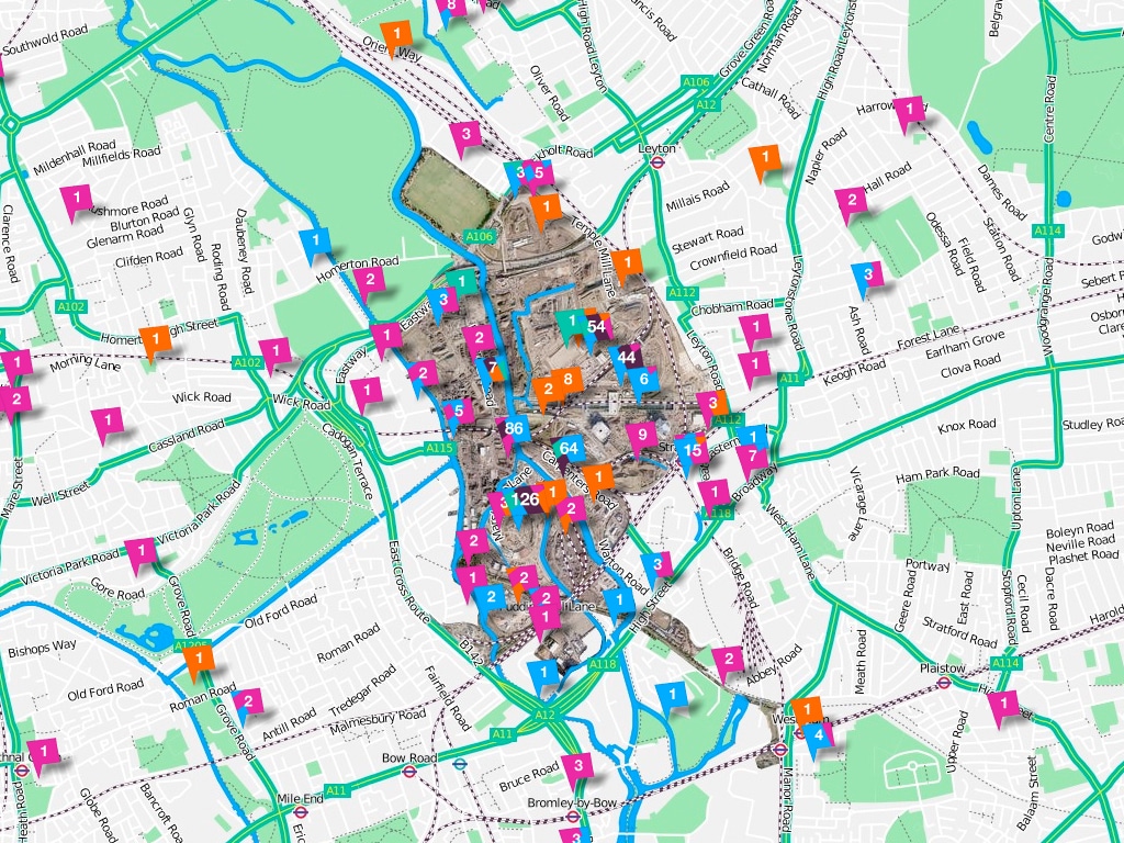
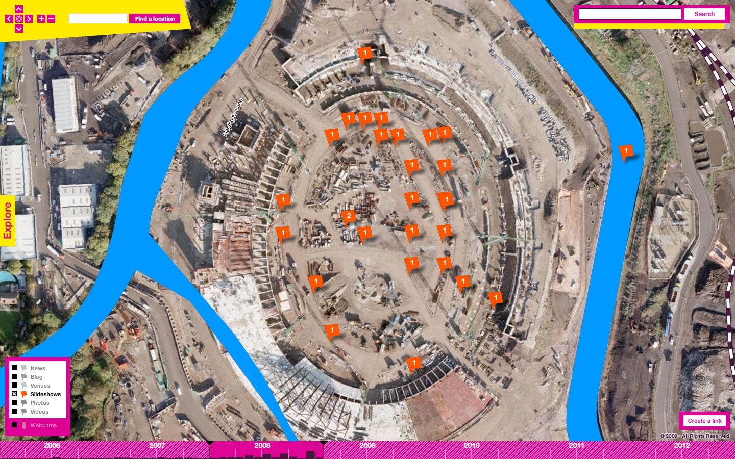
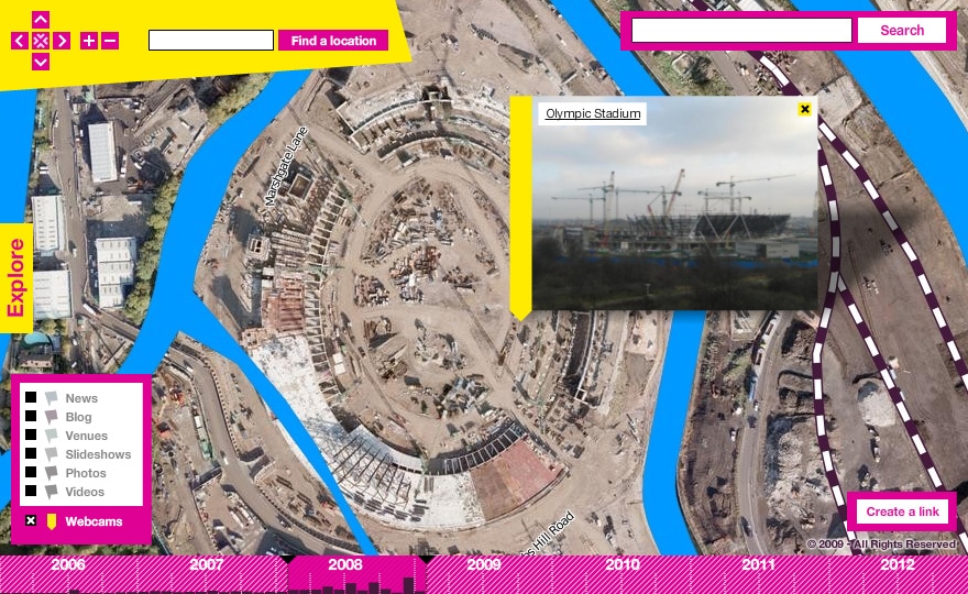
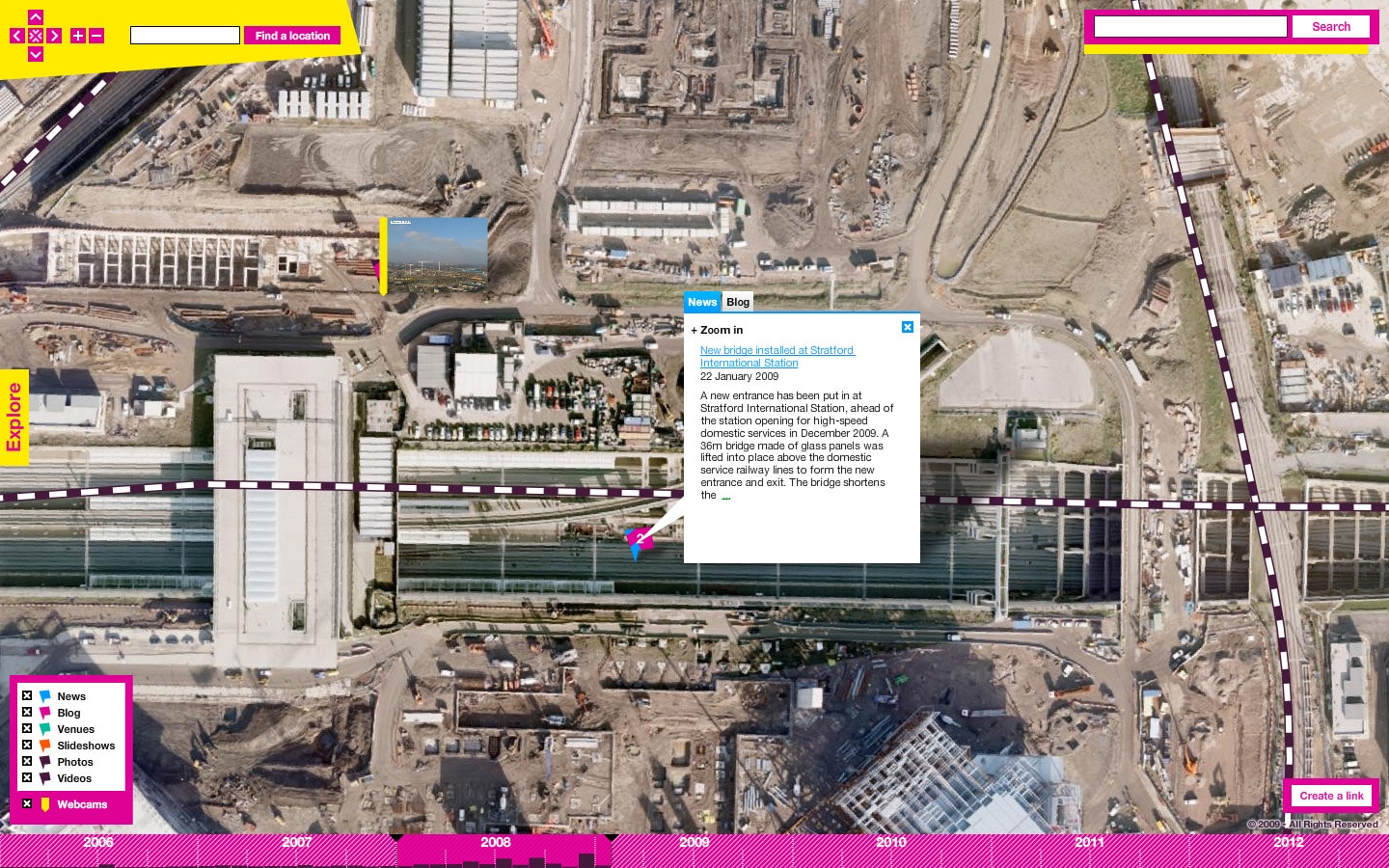
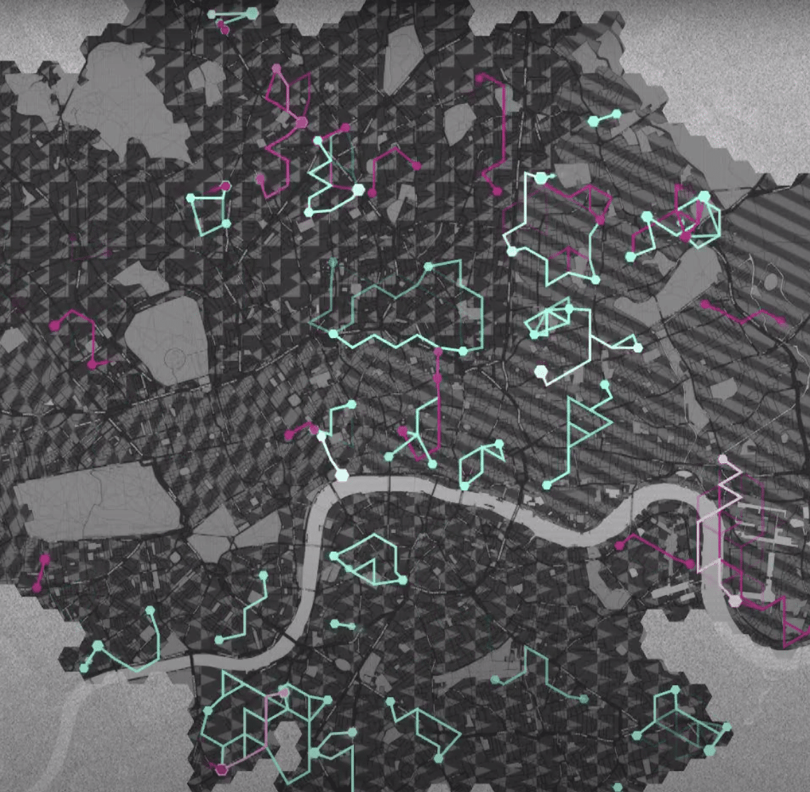
We designed a new look for the maps used by LOCOG (the London Organising Committee of the Olympic Games). The project organized tens of thousands of geocoded articles and photos that the London 2012 team produced, highlighted the ongoing works in the Olympic Park, London and the UK, and showcased the depth and breadth of information available on the main site.
Custom cartography, designed using LOCOG’s retro-futuristic brand guidelines, was generated for the entire UK. Venues, municipalities and other geographic features are searchable and explorable.