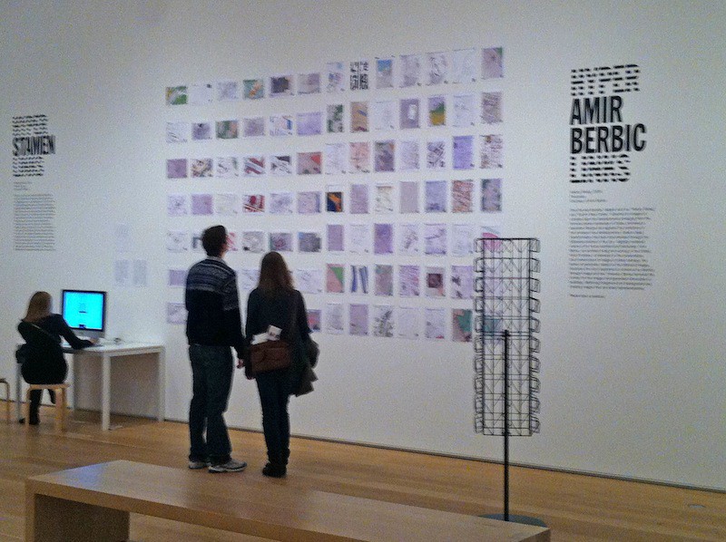
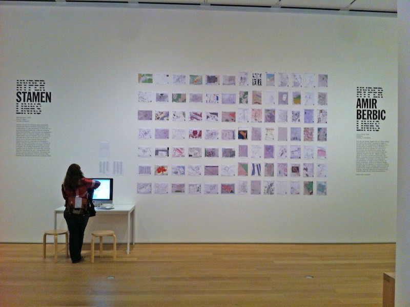
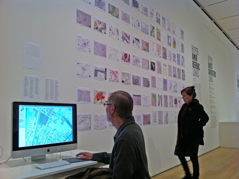
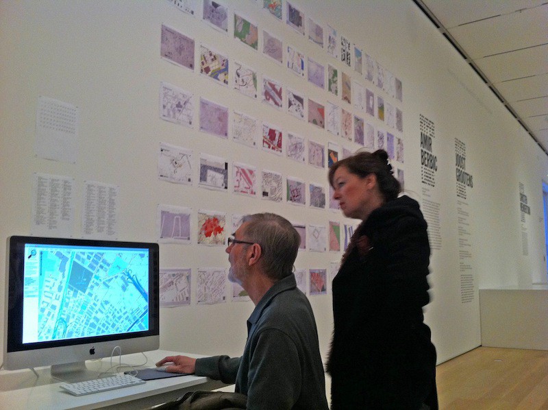
Walking Papers, the project that lets you draw on a paper map and easily get the data into Open Street Map (and which Mike launched last year), is part of the Hyperlinks exhibition at the Art Institute of Chicago You can read all about it at the Institute, but the gist of it is:
The Internet has undoubtedly transformed the world we live in; its unprecedented access to and layering of information lead to greater interaction and engagement, and a complex understanding of our place in the world. However, this innovative method of accumulating and remixing data is also occurring across the fields of architecture and design. A fluid exchange between these disciplines — fueled by advances in production processes, materials research, social and environmental concerns, and influences drawn from scientific and biological research — is resulting in new attitudes to architecture and design that are opening up these subject areas and stretching their range of influence.
We’re grateful to Martha Pettit, who heroically curated our collection of hundreds of printouts into something museum-worthy, for all her hard work on the project. Also, Mike’s added a multi-page “atlas” which is worth looking in to if you’re interested in how the project is progressing. Thanks to Nate Kelso for the photos.


