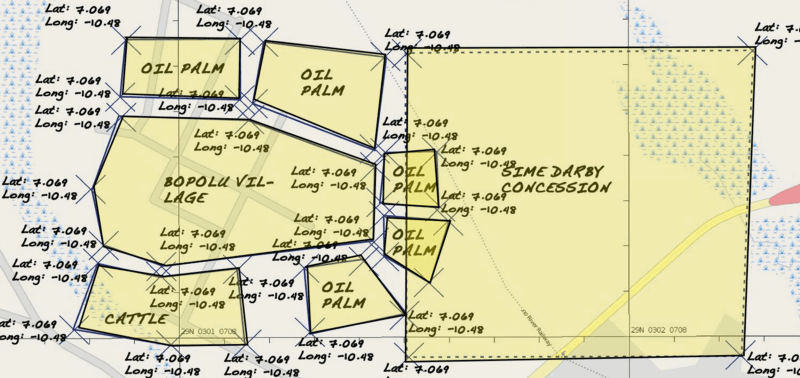
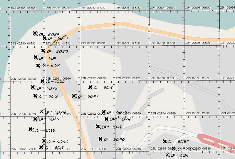
We’ve just rolled out a new way for you to make atlases of the world, called Field Papers and made with our friends at Caerus Associates. Field Papers allows you to print a multipage paper atlas of anywhere in the world and take it outside, offline, into the field. You can scribble on it, add features, or make notes about the area, all without a GPS or complicated GIS software.

Once you’ve annotated your atlas, you can upload photographs of each page back into the system to transcribe your notes into digital form. Each atlas gets its own page on Field Papers, and a simple history of edits and activity which you can share with friends or colleagues, and download for later analysis. Take a look at some of the atlases that have already been created on the Watch page, or browse by place, like France or Liberia.
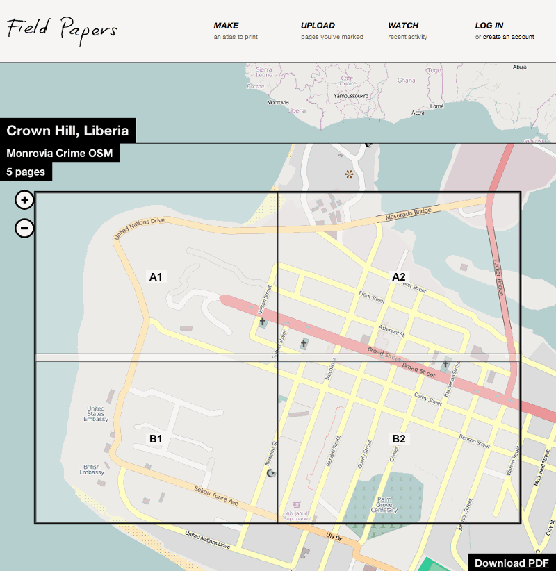
The interface looks like this:

This project is a continuation of Walking Papers, which was built for the OpenStreetMap (OSM) editing community. Field Papers allows you to print multiple-page atlases using several map styles (including satellite imagery and black and white cartography to save ink) and has built in note annotation tools with GIS format downloads. You can also create a Field Papers account to collect any atlases you create or snapshots you upload, or you can stay anonymous. Maps from the two systems work together if you want OSM editing (see below).
Field Papers also offers several automation and map customization tools for more geo-inclined people, and the open source code is on Github.
Why not try making an atlas at Field Papers?


