
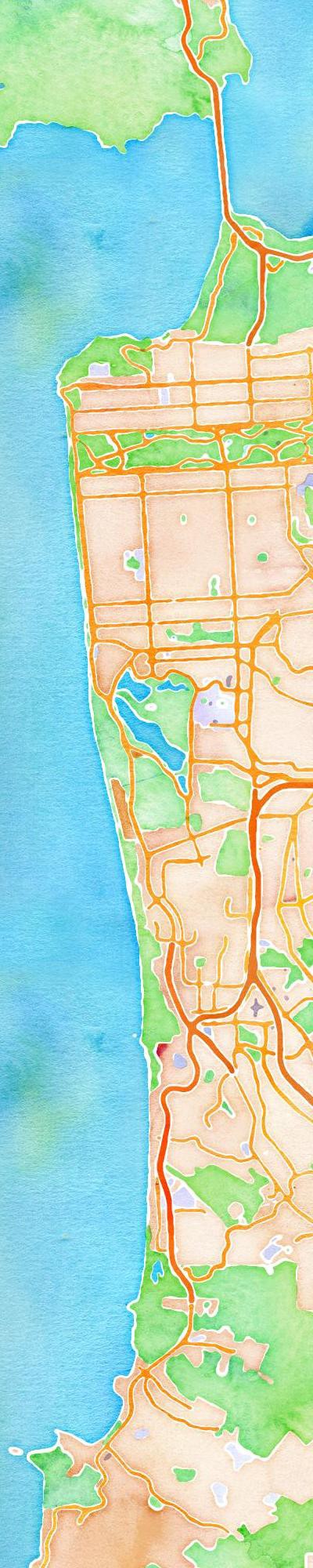
Since launching maps.stamen.com and making the maps available for purchase in select cities on 20×200we’ve been lucky enough to receive a steady trickle of interest from people who want to print the maps themselves. For those unlucky enough to have missed the watercolor letterpress map that went out withJason Kottke’s marvelous Quarterly.co subscription service, we’re pleased to announce the beta version of M2I, a service that lets you print out larger static versions of the maps on maps.stamen.com. Now you can generate those long images on pinterest, chop chop!
http://maps.stamen.com/m2i
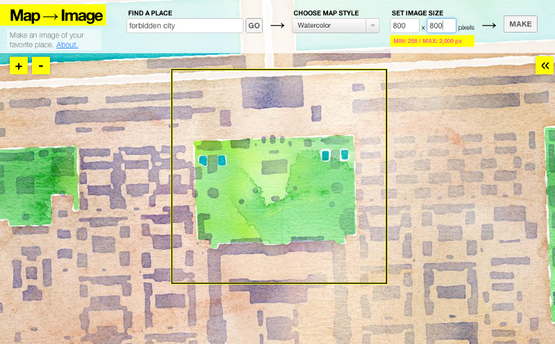
The maximum size you can currently generate is 2000×2000 pixels. This is to keep the servers happy; depending on how they run we’ll likely increase these limits in the coming weeks.
Please let us know what you think; we’re looking into ways that people can order physical products from the site, because watercolor blankets and toner scarves are where it’s at this season (and should be available from Soft Cities this fall).