There’s alot to talk about as we continue to move forward with Dotspotting. I’m going to try and blog a bit more frequently about it and describe individual aspects of the project, instead of waiting for a big long blog post that takes me all afternoon, and see how that goes.
Search

So yesterday I talked about basic uploading and the addition of new information to address-based dots in .csv files. Once those files are in a sheet, we’ve got basic search enabled for individual dots inside that sheet, and you can do a couple of different things there. Right now search is only enabled on a few fields: latitude and longitude. What this means is you can start to sort your dots in various ways based on location. It’s all still super alpha-beta-disco-ball, of course, and very straightforward, but here’s an example.
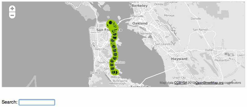
The map above is from a sheet of mine, called Cabspotting December 8 2010–3. I downloaded several cab tracks from the here and here and you can look at other ones I’ve made here.
The southernmost dot in that sheet is here, down at the airport, with a latitude of 37.614670, and the northernmost one is here, with a latitude of 37.806430, up near Fisherman’s Wharf. I can search for these latitudes in the sheet, and it’ll give me dots at those various degrees of north/south. It looks like this:
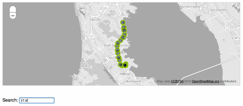
At 37.6, down near the airport:

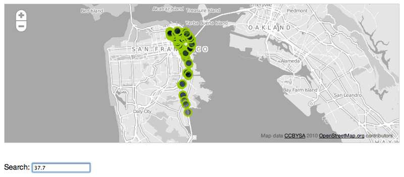
At 37.7, coming up the peninsula and into the CIty:

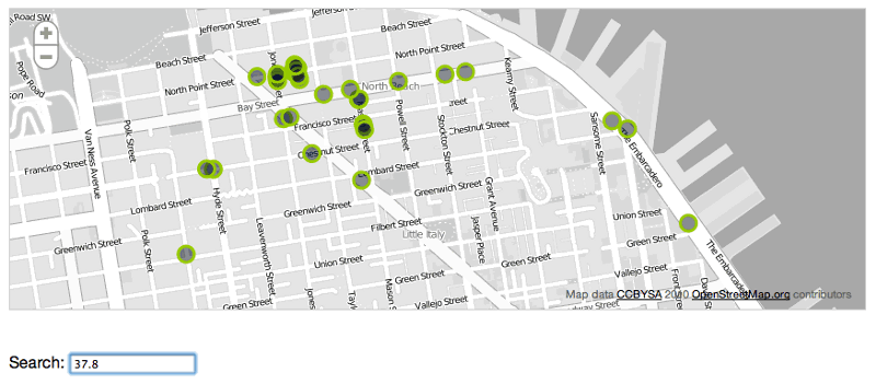
And at 37.8, up in Russian Hill and Fisherman’s Wharf:

The searches only work on latitude and longitude now, and we’re talking about how to make it useful to search other fields as well. Aaron and I talked today about things like being able to generate a list of the neighborhoods that the taxi passed through, exporting the results of these searches, having unique URLs for each of these searches, and to be able to do searches like “show me all the dots further north than37.717950.” We’ll get there. Part of the point of the project is for us to do this work in the open, so people can see how the process works and weigh in on what we do next. If you’d like to give us any feedback, we’re going to try using the dotspotting twitter account to talk in public about the project.
OK, that’s search. For now.
