
Since 2011, Stamen has provided basemaps built upon OpenStreetMap (OSM), but it’s been several years since we updated the underlying data in them. We received a grant from the Knight Foundation a few years after their release to refresh Toner and Terrain, but it’s no small feat to keep a worldwide map updated with the latest data. OSM is updated as often as 4 million times per day and the entire database is currently about 130GB in size. As fans of open data, that’s exciting! As maintainers of maps built on open data, it’s daunting. Luckily, we’re not in this alone, and geospatial technology has come a long way in the years since we first released these maps.
Our partnership with Stadia Maps has empowered us to recreate our basemaps in a new, modern infrastructure that will support easier and more frequent updates. The basemaps are built on OpenMapTiles and will be updated regularly with new data from OSM every month.

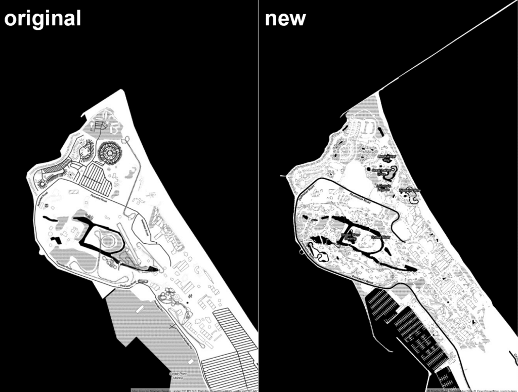
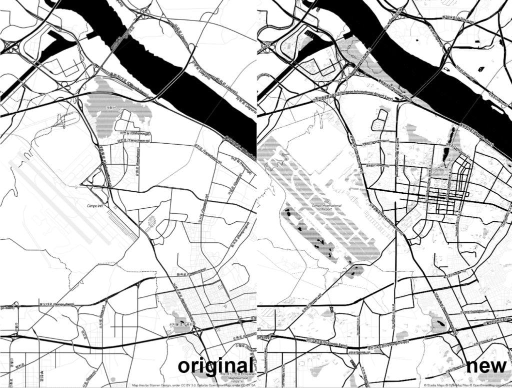
We’re excited to see new life breathed into these maps as details contributed by the OSM community worldwide are seamlessly incorporated into the map data. Mapping enthusiasts and professionals work to enrich OSM by improving building coverage, road networks, and details inside parks and buildings, catching the database up to the infrastructure that already exists in the world.

And when something new is built in the real world, mappers are quick to add it to OSM. For instance, when SoFi Stadium was built in Los Angeles in September of 2020, it was added to OpenStreetMap about a month later. This is also true with airports, transportation infrastructure, and so much more. Needless to say, a lot has changed—in the real world and OSM— since the early 2010s! Take a look at some locations that have improved significantly with new data:
We’ve received a lot of questions and interest about an updated version of Watercolor. As much as we’d love to update it with new data, rebuilding Watercolor on a modern rendering stack is going to take a lot more work, and we don’t have a timeline for when (or if) that will happen.
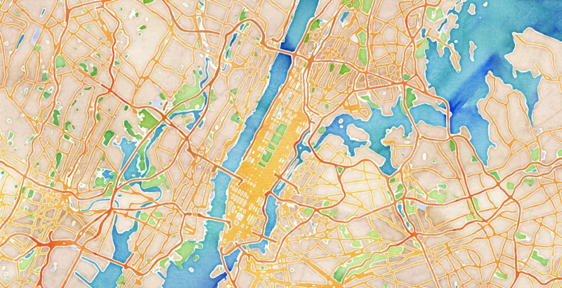
The original tiles, however, live on through Stadia and in the Smithsonian and have become something of a museum piece, quite literally! In 2021, the Smithsonian Institute and Cooper Hewitt National Design Museum acquired the Watercolor map tiles and have agreed to make those tiles available to the public, in perpetuity. Those wanting to migrate to Stadia for their hosting of the Watercolor tiles are welcome to do so, and you can find out about that in our migration guide.
Follow this link to check out the new data in the Toner and Terrain map styles!