
The North American Cartographic Information Society (NACIS) 2023 conference in Pittsburgh was a fantastic gathering of cartographers, mappers, and map enthusiasts. Stamen was well-represented this year by Kelsey Taylor, Eric Rodenbeck, and Ross Thorn. I’m developing a history with NACIS, having given my first talk there last year on cartography and the golden ratio, and other Stamens have been giving talks there for some time now. What follows are some of the notes and thoughts from all three of us during this event, which feels like a place where we can come home.
Ross’s Presentation: Amazon Location Service and Unconventional Maps
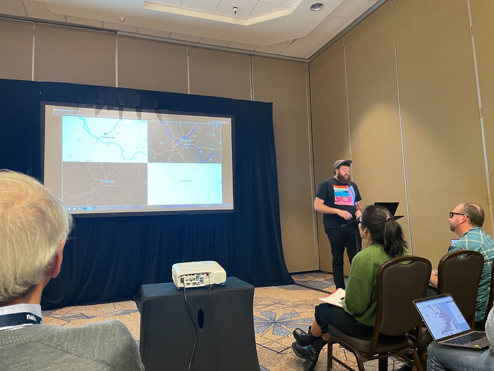
Ross Thorn showcased Stamen’s work with Amazon Location Service and shared tips on creating beautiful basemaps from open data. He engaged the audience with practical insights into mapmaking. Ross also moderated a session that featured a wide range of unconventional map-related talks. The session, “Outside the Neatline: Maps in Any Medium,” explored the intersection of maps with games, electronics, performance, and even body paint. Ross was particularly inspired by Heather Rosenfeld’s talk on designing a mapmaking game that delves into themes of decolonization, academia, and monstrosity. Another highlight was Jim Thatcher’s talk, which connected climate change communication with maps and gaming.
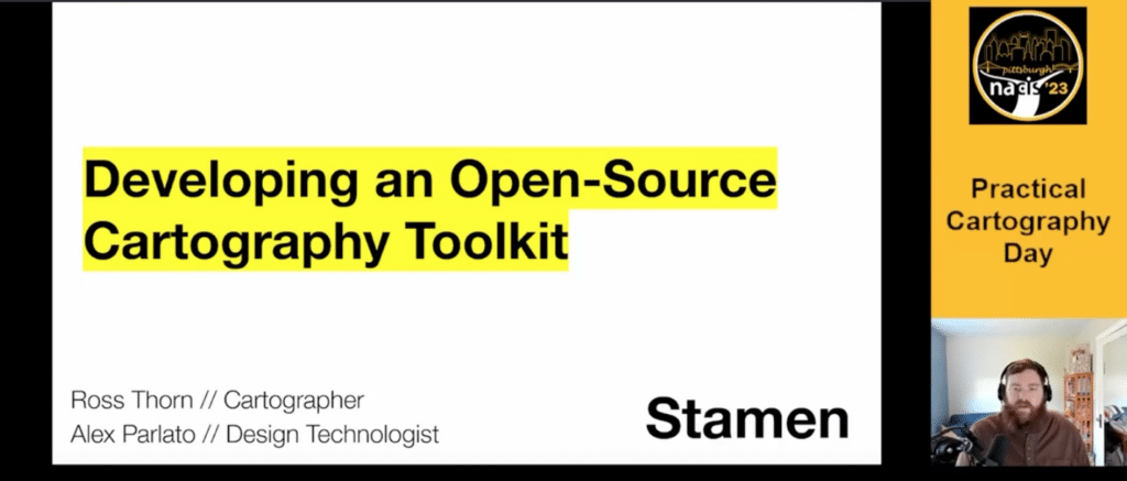
Due to a canceled connecting flight on the first day of the conference, Ross didn’t make it to the conference in time for his first talk which was scheduled bright-and-early on Day 1. But luckily, NACIS let him submit a recording of his talk (developed along with Stamens Alex Parlato and Damon Burgett) “Developing an Open-Source Cartography Toolkit”.
Kelsey’s Moving Experience with Densho
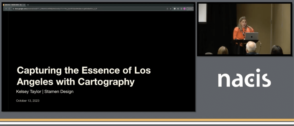
Kelsey presented on the intricacies of basemap design evolution for our client Spherical. You may recall that we blogged about this work a few months ago, in a post called: “Dreamy, aspirational cartography with Spherical”.
Kelsey also shared an emotional and impactful quote related to the talk she gave about Stamen’s collaboration with Densho:
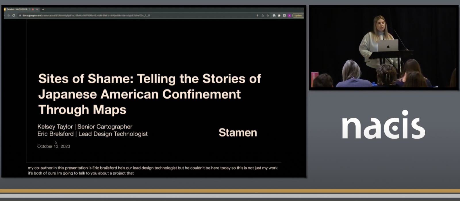
“A very good friend of my future mother-in-law is active in keeping alive the story of these Japanese Americans, as her late in-laws Hiro and Bess were forced into a camp. I emailed her to invite her to take a look at Densho’s Sites of Shame tool. She passed along the following message to me: ‘Densho is a terrific organization. It is fascinating to see how this map highlights multiple families and the various members of one family and their journeys during the war years… This map is a great tool! Thanks for sharing. I’ll spend more time on it in the future.'”
Kelsey’s experience highlighted the power of maps in storytelling and education. Maps can be instrumental in raising awareness about social issues and promoting positive change.
Eric’s Favorite Talk: The Intersection of Comics and Maps
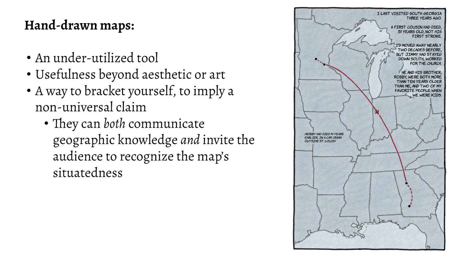
One of my personal highlights from the conference was a talk that explored the fascinating intersection of comics and maps. Richard Bohannon is on a journey to explore the use of hand-drawn maps in modern map-making, specifically to undercut the often totalizing or objectifying nature that computer maps are often accused of.
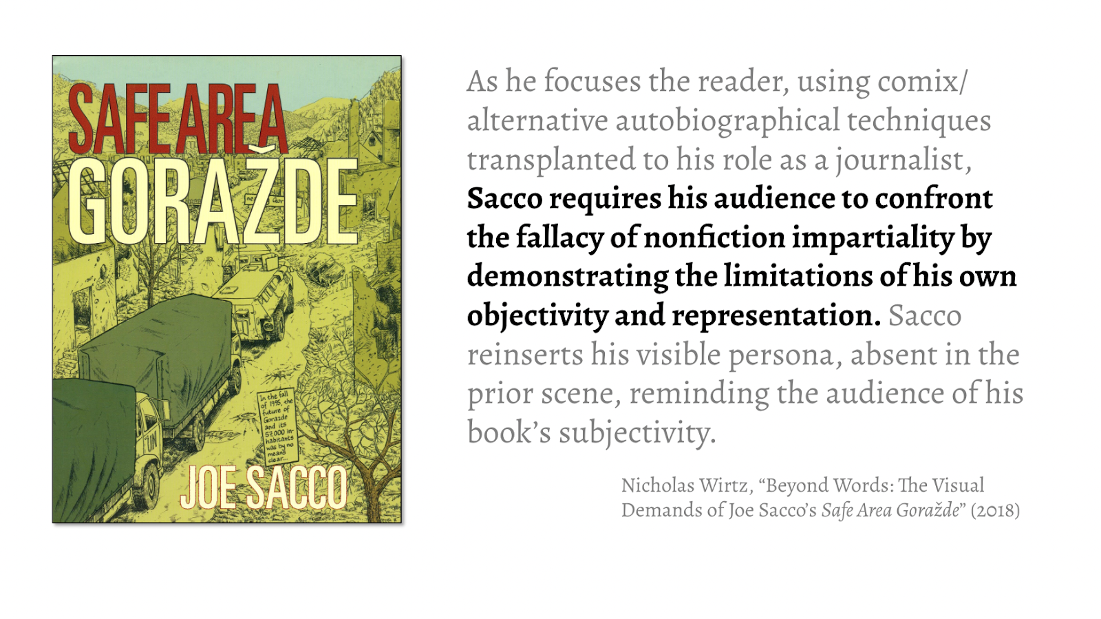
Richard’s talk was (I think) the only one that directly referenced hand-drawn comic books, specifically Safe Area Goražde, as a way to confront the fallacy of nonfiction impartiality.
It got me thinking about a couple different things:
- Why aren’t there more talks at places like NACIS that reference comic books / graphic novels when they talk about storytelling? Comic book artists are superb at drawing viewers’ eyes through a series of images, often in a quite structured way and according to different conventions. Maybe Richard and I could host a panel about this at next year’s NACIS…
- This idea that there are well-understood ways to demonstrate the limitations of objectivity & representation seems important. In a time when every day seems to bring some new AI-induced challenge to the idea of objectivity & our ability to distinguish between truth & fiction. D&D artists are being censured for using AI in their supposedly hand-drawn images, in a backlash against use of the technology. People are freaked out! I like this idea that we already know how to point out limits, talk about them, create within them and around them, especially when it comes to mapping.
- The use of paper drawing as an intro into client presentations is, in my experience, a way to get clients more intimately involved in the co-creation of compelling interfaces. Here’s an example from the beginning of our our work with Ed Ruscha & the Getty Institute:
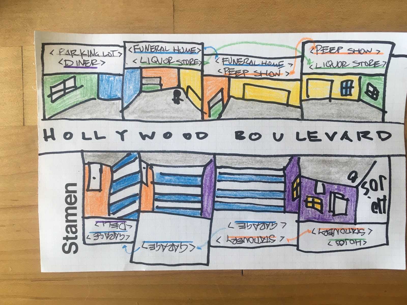
So: paper! Comic books! Maps!
We also had the opportunity to attend other intriguing talks during NACIS 2023. Some notable ones included:
- Anton Thomas: “Drawing the Entire Planet by Hand: A Wild World Map of Nature.” This talk showcased Anton’s unique approach to illustrative cartography and the challenges of long-form projects.
- Michael Hermann: “Building a Map Company from Scratch: The Story of Purple Lizard.” This session provided insights into Purple Lizard’s trail map production and distribution in the U.S.
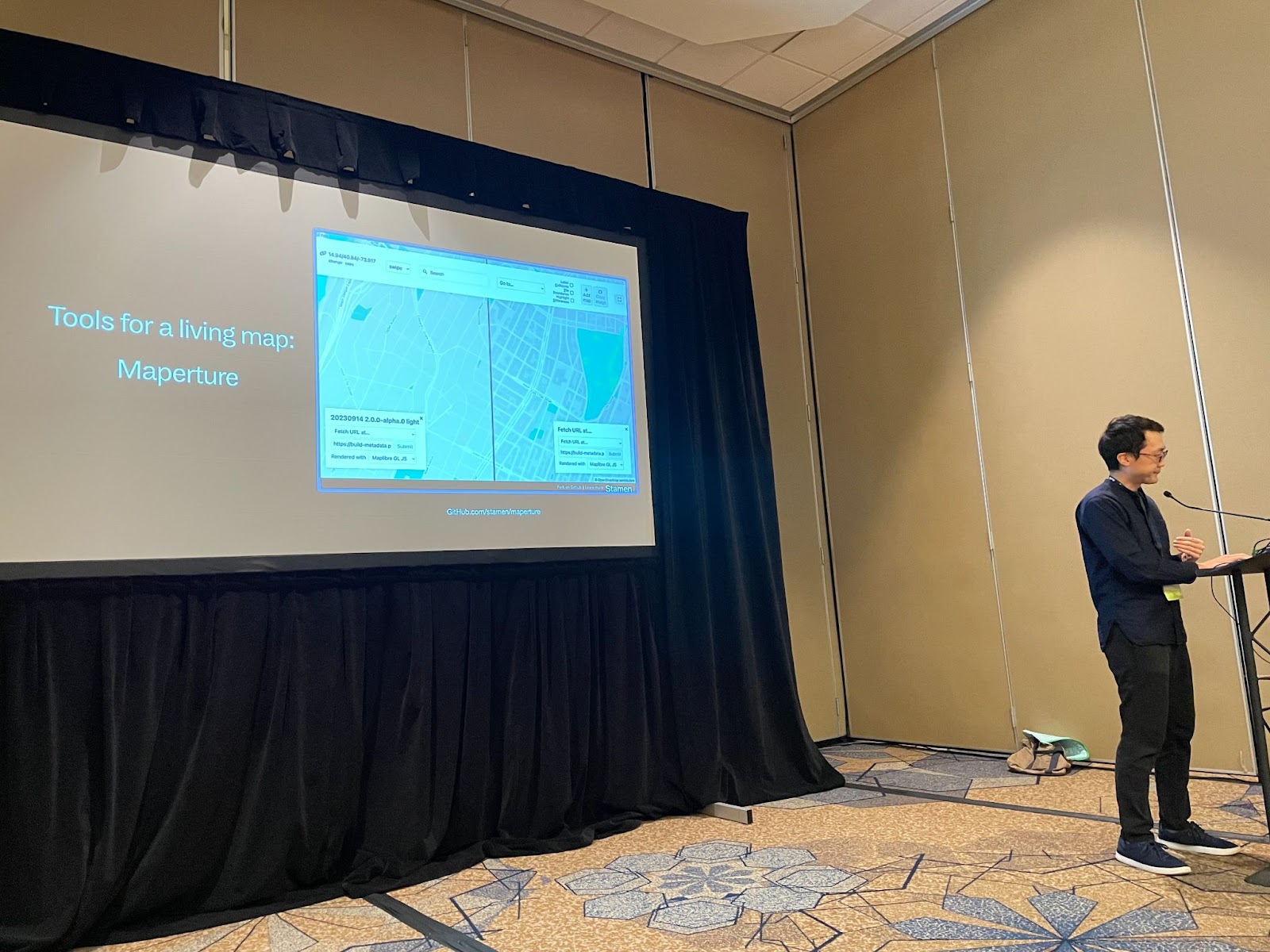
- It was great seeing our tool, Maperture, featured in Brandon Liu’s talk about Protomaps
The rest of the talks are live at NACIS’ YouTube channel, check them out!
In addition to the talks, we had fun outside!
I think my favorite part of the whole event was a demonstration over dinner, by a professor of map projections, of the relationship between the not perfect sphere of the earth and digital maps using sharpies and butter balls. With a predictable finish. Map nerds are the best nerds!
 |  |
Community, Creativity, and Cartography
NACIS 2023 was more than just a conference; it was a celebration of the vibrant cartographic community and the creative potential of maps. Our experiences and interactions at the conference reinforced the idea that maps have the power to educate, inspire, and drive positive change.
From talks about comic books and games to the emotional impact of mapping historical events, NACIS 2023 exemplified the endless possibilities in the field of cartography. We’re proud to be a part of this gathering of map enthusiasts and are looking forward to continuing this journey of creative cartography and community engagement.