
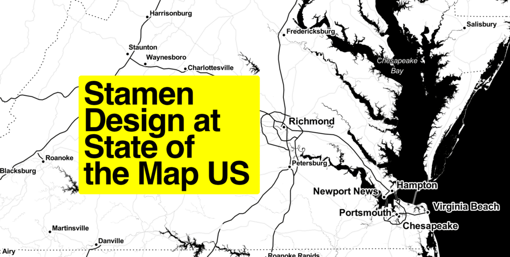
This week, Stamen will be attending the State of the Map US conference in Richmond, Virginia! We’ve been attending these OpenStreetMap conferences (either the international State of the Map or this US-based version) for over a decade, and it’s always exciting to feel the energy of this lively community of open source mappers. The OpenStreetMap project depends on the contributions of technologists, cartographers, and a wide community of volunteer mappers, and State of the Map is where those overlapping groups gather to meet.
We have four exciting presentations planned for this week:

On Friday morning at 11am, our Director of Geospatial Stephanie May will be presenting “Why do Full Stack Cartographers Love Open Source?”. We’ve been talking about this concept of “Full Stack Cartography” a lot lately (in recent podcast episodes here and here, and in blog posts here, here, and here), and for us it encompasses all the complex and interconnected parts of the process that are required to build and maintain beautiful, shippable, well-designed map styles based on OpenStreetMap data. In this presentation, Stephanie will talk through how open source collaboration enables the creation of beautiful, performant maps.

Then on Friday afternoon at 3:30pm, Stephanie will be co-presenting with Quincy Morgan about the transition of Field Papers to a new home with OpenStreetMap US. We blogged about this transition back in March, and we’re excited to share more about this transition.
Field Papers is a project that Stamen created over a decade ago, and we are proud of its important role in supporting the OpenStreetMap community to make OSM the most detailed and up-to-date map data in the world, especially in disaster zones and other parts of the world where consistent internet connectivity is lacking. But like any open source project, Field Papers takes a lot of energy and attention to maintain and keep up to date, and in order to keep the project alive and thriving for the next generation of mappers, it was time to transition stewardship to a new team with the ability to fundraise to support it. In this talk, we will cover some of the history of Field Papers through the years, and talk about the technical aspects of setting it up for further success in the hands of the OpenStreetMap US organization.

On Saturday afternoon at 2:30pm, Damon Burgett and Alex Parlato will present “Have you checked your vector tiles lately? Techniques for cartography-driven tile engineering”.
In this presentation we’ll talk about one of the less-visible but still extremely important parts of the vector tile cartography stack: developing, testing, and refining vector data tiles. Many web cartographers may be used to designing their maps based on off-the-shelf vector tiles, but for Stamen’s largest and most demanding clients, customizing the tile data is just as important as developing a cartographic style, especially when performance is a critical concern. At each zoom level, vector tiles should include only the features, attributes, and spatial resolution necessary to render the map; any additional information in the tiles simply degrades performance with no visual benefit. But even tiles that are perfectly synced with the stylesheet might still contain too much data to load responsively on mobile devices under real-world conditions; knowing the exact amount of data transferred under realistic scenarios helps our cartographers make smarter decisions about what information they really need to show on the map.
Damon and Alex will showcase a variety of tools and techniques we’ve developed at Stamen for optimizing tile data and for enabling our cartographers to work closely with tile engineers to tailor the data that drives our map styles. In this way we can achieve end results that are unique, beautiful, performant, and perfectly suited to our clients’ exact user needs and use cases.
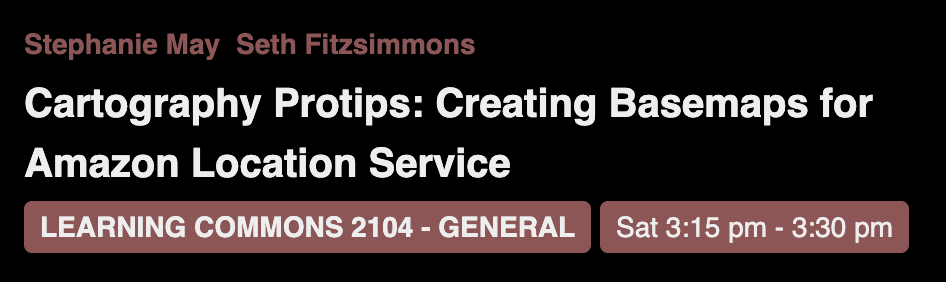
Last but certainly not least, also Saturday afternoon (at 3:15pm) we’re co-presenting with Seth Fitzsimmons (who also happens to be a Stamen alum) about our work creating basemaps for Amazon Location Service. These maps went live in March this year, and you can learn more on our blog or on the AWS Open Data page. These basemaps are a case study of the Full Stack Cartography concept, where the vector data tiles and the cartographic styling were developed in an iterative, tightly-synced process. Working closely with the tile engineers at AWS Amazon Location Services, Stamen designed four map styles meant to support a wide variety of business use cases required by AWS’s customers, while also showcasing the utility and quality of a purely open data map, based on the Daylight distribution of OpenStreetMap.
For more information about those sessions and to see all the other fascinating talks planned for the conference, check out the online schedule.
We look forward to seeing old and new friends at this conference, and for those of you who can’t attend, we will post the slides and recordings from our talks shortly after the event. We hope to see you in Richmond!