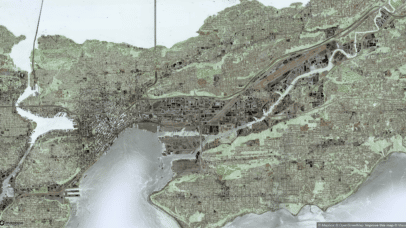
Stamen x Stadia: the end of the road for Stamen’s legacy map tiles
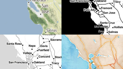
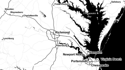
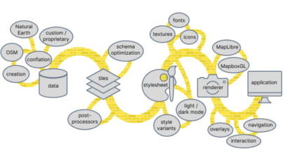
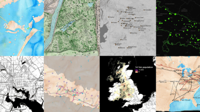
As you may have heard, we’ve partnered with Stadia Maps to create updated and modernized versions of our venerable basemap styles on Stadia’s infrastructure. You can read more about the announcement here and learn about some of the amazing features in the new maps in our recent blog post “Here Comes the Future of Stamen...