blog/Maps
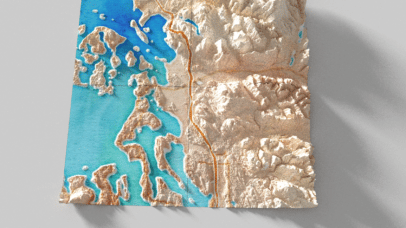
Shadows on maps are getting a lot more exciting, and here’s why
As cartographers, we want to make beautiful maps that grab our readers’ attention. Sometimes we wish our maps could jump out of the screen or off the page, and with a recent trend in cartography we’re starting to see more and more maps that seem to do just that. New technology combined with high-resolution elevation...
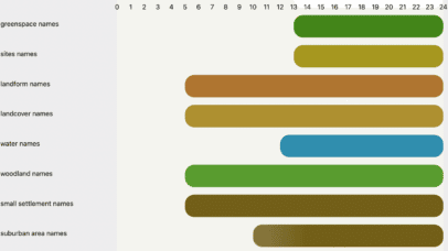
Visualize a cross section of your map with Chartographer
At Stamen, we work with clients to improve their interactive cartography experience, frequently building full basemap solutions for large corporations who have very specific needs and exacting standards. Doing so means wrangling complex global data into beautiful, performant maps, controlled by elegantly written stylesheets. Most web maps have a near-endless amount of detail that can...

Pollinate Ep. 8- Carissa Carter & The Secret Language of Maps
What is a map, even? A cartographer might answer that question with a focus on the geospatial, whereas an information designer might focus on the conceptual. In this episode, author Carissa Carter offers a definition of “map” in her new book The Secret Language of Maps that is somehow broad and very specific at the...

Pollinate Ep. 5- Christina Conklin & The Atlas of Disappearing Places
Time. Space. Salt. No, these aren't a new take on necessary elements for cooking a delicious meal. They are some of the core themes that artist and author Christina Conklin explores in her work. Whether it's patiently waiting for saltwater to evaporate and form intricate patterns on a concrete floor or painting maps of climate change data on dried sea lettuce, she is inspired by the ocean and all the elements and organisms within it. In this episode, Christina discusses her book The Atlas of Disappearing Places and the beautifully painted maps that accompany insightful and thoroughly-researched stories that elucidate the intimate connectivity between humans, the ocean, and the planet we all call home.
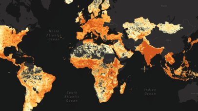
Visualizing Global Population Density with Meta
We are thrilled to share a project we’ve been collaborating with the Social Impact Partnerships and Data for Good teams at Meta on to create a new interactive map tool for their High Resolution Settlement Layer (HRSL) Dataset. The explorer is live at populationexplorer.org and we invite you to explore and play with this phenomenal...
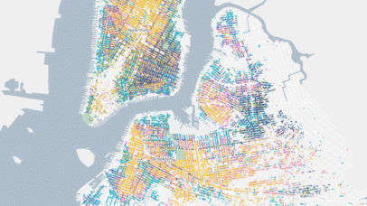
Mapping Historical New York with dot density maps
In 2021 Stamen had the pleasure of working on Mapping Historical New York with Columbia University’s Center for Spatial Research. The Center came to the table with a large and unique dataset of historical census data for the areas that are now Manhattan and Brooklyn dating back to 1850. Part of what is special about...
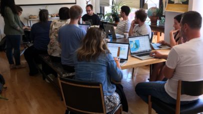
Working & Designing with Spatial Data
Late this summer, 10 people gathered at Stamen Design’s studios to learn how to design and work with geospatial data on the web. What we set out to do We all set aside 4 hours of a Sunday afternoon to get a hands-on introduction to the leading tools for web based mapping visualization. With a repo full...

